
Hrabišín – Reservoir, Hiking Trail and Culture
Accommodation in Hrabišín
Hrabišín lies in the foothills of the Jeseník Mountains and in a hilly landscape. The Hrabišín Reservoir is located in the municipality’s cadastral area; a tributary on the left bank feeds it. For a first overview of the place, the landscape and water form separate topics alongside culture, history and trails. A place can be understood through its landscape as well as through individual sites within the municipality. For practical planning, it is helpful not to force natural and cultural aspects into a single itinerary item.
When looking for a hotel in Hrabišín, you can compare travel dates, room categories and cancellation policies separately. These details form a separate planning level alongside landscape, water, culture and trails and can be weighted differently depending on your travel plans.
Landscape
The Hrabišín Reservoir is also used as a natural outdoor swimming pool. It is considered a destination for walks by locals and tourists. Spending time by the water and going for a walk are two different perspectives on the same place. For personal day planning, such activity topics can be weighted separately without assuming a fixed order or a specific itinerary.
Culture
In the grounds of the primary school in Hrabišín, the sculpture “Kosmický věk” stands on a landscaped park terrace in front of the main entrance. At the end of Hrabišín in the direction of Dlouhomilov stands the plague column known as the “Morový sloup.” In the settlement of Dolní Olešná in Hrabišín, there is a protected cultural monument: an Empire-style wayside shrine dating from 1820. For cultural attractions, it is useful to record the proper name together with the respective location. Proper names and location details distinguish the different forms of art, monuments and local history.
The topics do not need to be combined into a single route for personal planning. You can note landscape and water separately from culture and history; information about trails and buses remains an independent point of orientation. This arrangement keeps names, direction and time period separate without prescribing an order or a particular pace.
History
The present-day municipality of Hrabišín was formed by the merger of the four historical municipalities of Dolní Olešná, Horní Olešná, Loučky and Hrabišín. A cemetery was established around a chapel in Hrabišín. For historical context, you can consider the formation of the municipality and the individual site at the chapel as separate pieces of information.
Trails
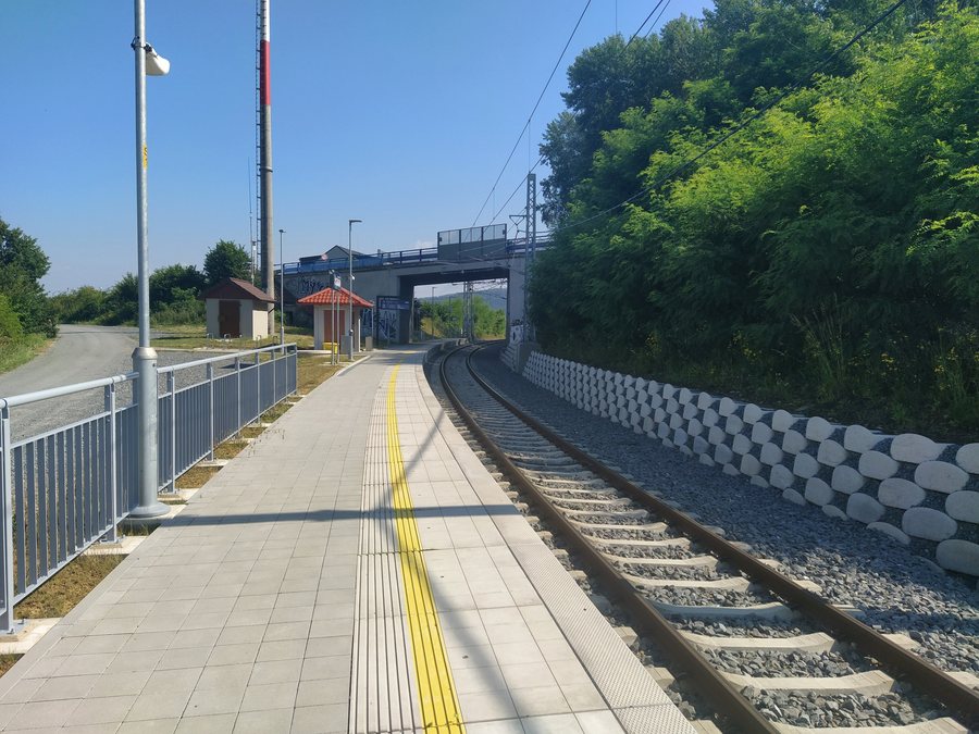
A blue-marked hiking trail runs by Hrabišín railway station, taking you northeast to the ruins of Rabštejn Castle. The combination of the trail marking, railway station and compass direction provides a brief basic orientation; when preparing personally, you can check these three details separately.
Other places: Líšnice U Mohelnice, Vernířovice, Nemile, Svébohov, Zborov, Postřelmov, Kolšov, Potůčník
Connections
IDSOK bus route 212 connects Šumperk, Hrabišín, Brníčko, Leština and Zábřeh. Its timetable is valid from June 14 to December 12, 2026. Lists of places and validity periods can be compared separately when planning bus travel. Bus route 930204 connects Šumperk, Hrabišín, Libina and Oskava; the stated timetable is valid from December 14, 2025, to December 12
For the broader travel overview: Šumperk District.

_2024_1.jpg)