
Sárfimizdó: Hotels and Accommodation
Accommodation in Sárfimizdó
Several clearly named points of reference are located around Sárfimizdó: Kilátó is situated in the surrounding area of Sárfimizdó; the Szentkúti kápolna, Velence-hegy and Szentkút are also located in the surrounding area.
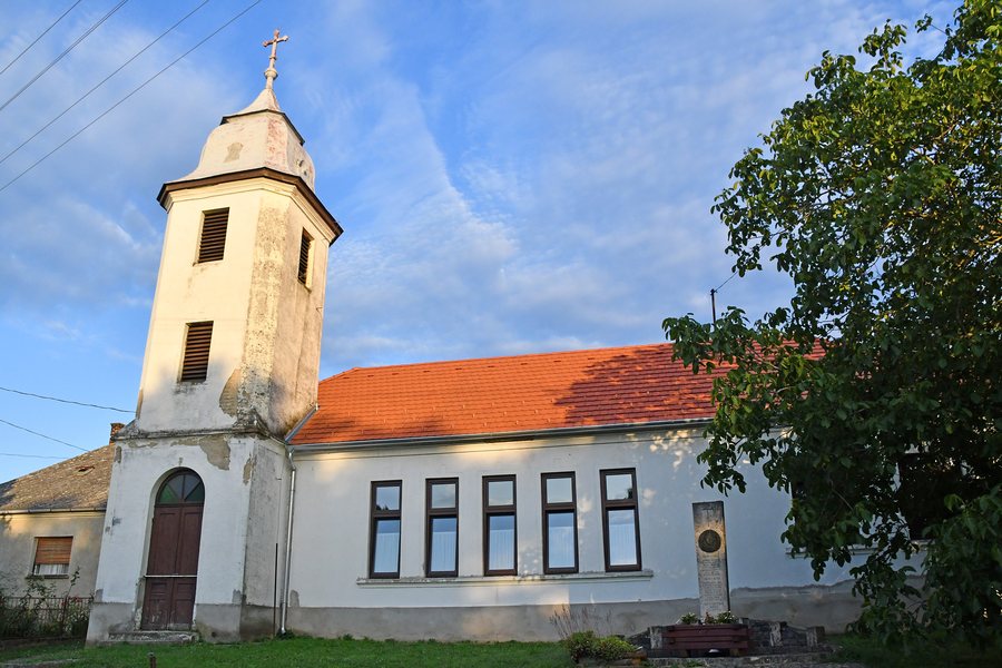 Roman Catholic school chapel in Sárfimizdó
Photo: Pasztilla aka Attila Terbócs via Wikimedia Commons, CC BY-SA 4.0
Roman Catholic school chapel in Sárfimizdó
Photo: Pasztilla aka Attila Terbócs via Wikimedia Commons, CC BY-SA 4.0
You can book a hotel in Sárfimizdó. For travellers interested in a viewpoint, Kilátó is a specific point of reference.
Landscape
Király-hegy and Telekes are located in the immediate vicinity of Sárfimizdó. This provides a way of identifying the surrounding landscape through specific place names.
Geographical Location
Sárfimizdó is a municipality in Vas District, in Vas County, Hungary.
The municipality is located 14 kilometres southwest of Vasvár. From Sárfimizdó, Halastó lies to the west and Gersekarát to the northeast.
Getting There
Local road 7444 runs through Sárfimizdó. Two bus services run daily via Gersekarát to Vasvár; the nearest railway station is in Vasvár.
Elevation
The municipality’s highest elevation is Gurdon, at 223 metres.
More local pages for orientation: Püspökmolnári, Szemenye, Hegyhátszentpéter, Petőmihályfa, Alsóújlak, Rábahídvég, Gersekarát, Csehimindszent.
For the overview of the higher-level destination: Vasvári.

