
Discover Neravai: Landscape and Trails on the Edge of the Village
Accommodation in Neravai
Neravai combines a settlement mentioned in written records for centuries with a landscape of ponds and streams. Two different trails add to the character of the area: the Miško takas on the edge of the village and the interactive Neravų iššūkių takas.
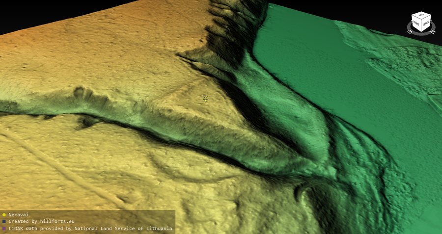
Neravai at a glance
Neravai has been mentioned in written sources since 1604. The landscape is shaped by Neravų tvenkinys and Dzirnės upelis, which flows from it. The Miško takas runs along the edge of the village, first on the sidewalk along Neravų gatvė and then along Sodžiaus gatvė. At the end of the village, the latter becomes a forest path; the Dzūkija National Park begins there. Near the pond, the village community created the educational, interactive Neravų iššūkių takas in 2022 to encourage residents and visitors to take part in active leisure activities.
What landscape defines Neravai?
The pond and stream belong together here: Dzirnės upelis flows from Neravų tvenkinys. This means the landscape can be understood not just through two names, but also through their specific connection. If you are considering Neravai as a travel destination, this relationship offers a different perspective from the area's mention in written records since 1604: one describes the landscape, while the other points to its written history.
What does the Miško takas show on the edge of the village?
The sequence of named sections is important on the Miško takas. On the edge of Neravai, the trail follows the sidewalk along Neravų gatvė, then continues along Sodžiaus gatvė. At the end of the village, the latter becomes a forest path; the Dzūkija National Park begins at this transition. For orientation, the route as described can be understood as a sequence of the village edge, street sections, and then a forest path.
Beyond this local route, the Miško takas is part of the E11 European long-distance hiking path in the Baltic states. It passes through forests and national parks in Latvia, Lithuania, and Estonia. This brings two scales together: the specifically described route on the edge of Neravai and its broader context as part of a long-distance Baltic trail. If you are interested in the route, you can distinguish its description in the area from its wider regional context.
What makes the Neravų iššūkių takas distinctive?
The Neravų iššūkių takas has a different focus from the Miško takas. The village community created it near Neravų tvenkinys in 2022 to encourage active leisure activities for residents and visitors. At the time, it included the “Uždraustasis miškas” orienteering treasure hunt and interactive tasks. These involved technological aids, logical thinking, intuition, or ingenuity. The navigation and tasks made the trail an educational, interactive activity.
The timing is important when planning a specific visit: the trail and its tasks are described as they were in 2022. If you want to plan a visit specifically to the trail, check in advance whether the tasks are currently available.
FAQ
Since when has Neravai been mentioned in written sources?
Neravai has been mentioned in written sources since 1604.
Where does the Dzūkija National Park begin on the Miško takas?
At the end of the village, where Sodžiaus gatvė becomes a forest path.
Which countries does the Baltic section of the E11 pass through?
The Miško takas is part of the E11 in the Baltic states, which passes through forests and national parks in Latvia, Lithuania, and Estonia.
To the main travel overview: Druskininkų Municipality.

