
Akmenė District Municipality: Hotels and Accommodations
Accommodation in Akmenė District Municipality
Akmenė was first mentioned around 1511 as an estate owned by the Kęsgaila family. This historical reference point suits a trip with an interest in the area's early history. You can book a hotel in Akmenė District Municipality.
Landscape
The municipality lies in the central Venta Lowland. The terrain descends from 110 to 60 meters above sea level, while moraine areas were shaped by the last Ice Age.
Location
Akmenė District Municipality is located in northwestern Lithuania and in the ethnographic region of Samogitia. The administrative center is Naujoji Akmenė.
Nature
Parts of Venta Regional Park, Kamanos Nature Reserve, and the telmological reserves of Girkančiai and Karniškiai belong to the municipality.
Luokavos Piliakalnis, Skutskalns, and Kukuru Kalns are located in the surrounding area of Akmenės Rajonas. Zaķu Sala is located in the wider regional area around Akmenės Rajonas.
The Kamanos Educational Trail is an opportunity to explore the nature values of the protected area. This makes it suitable for travelers interested in specific nature experiences.
Culture
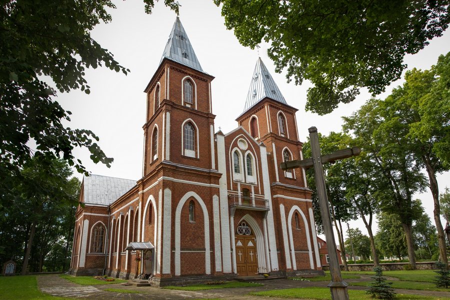
The town of Akmenė within the municipality is home to a regional museum, St. Anne's Church, and a cultural center.
Getting There
Roads connect the municipality in the direction of Joniškis, Mažeikiai, and Šiauliai; the Šiauliai–Mažeikiai railway line also crosses the area.
The link to Alkiškiai provides an overview of other nearby places.
For the overview of the wider destination: Šiauliai District.
Other Destinations
Other places in the same destination:

_2013-08-11.jpg)