
Discover Lubsin
Accommodation in Lubsin
Lubsin’s history can be explored through various traces: an Evangelical cemetery, a historic farmstead and an account of the founding of the village of Smolniki. Archaeological and regional connections also provide context. When planning your trip, it is worth distinguishing local information from details about the municipality as a whole.
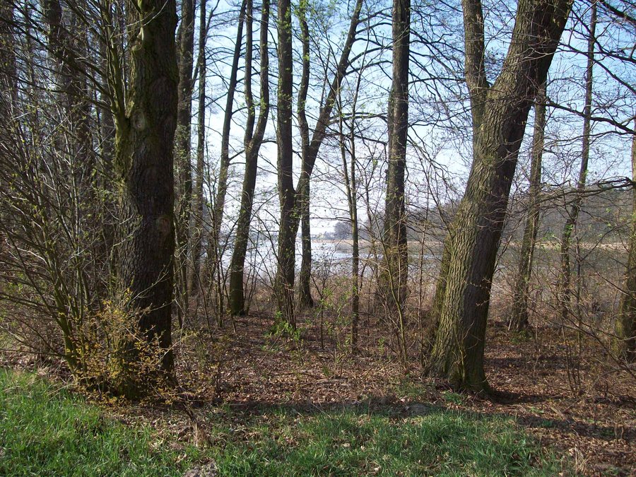 File:Jezioro Swiesz-widok z lasu od strony wsi Lubsin.JPG
Photo: Dstasz via Wikimedia Commons, CC BY-SA 3.0
Lubsin at a glance
- Lubsin has an Evangelical cemetery dating from the late 19th century, with fragments of tombstones and mature trees.
- The house at Lubsin 16 dates from 1924 and is part of a farmstead that includes a cowshed and enclosure.
- A local parish history links tar works established in Lubsin with the founding of Smolniki.
- The protected areas mentioned refer to the territory of the town and municipality of Piotrków Kujawski.
What traces tell the story of Lubsin?
A local parish history published in 2020 reports that German colonists established tar works in Lubsin while clearing a forest. According to the account, the village of Smolniki grew out of these tar works. The connection described therefore goes beyond a single activity: the tar works are also named as the origin of another village. The direction of the relationship is clear: the tar works were established in Lubsin, and Smolniki grew out of them.
In addition, an archaeological settlement trace is recorded in Lubsin under the designation Site 17. It adds an archaeological dimension to the history of the place. The tar works and the associated founding of Smolniki, by contrast, point to a historical development passed down in the local parish history. Different kinds of evidence thus sit side by side without telling the same story.
What do the cemetery and farmstead reveal?
An inventory description dated January 2018 lists an Evangelical cemetery in Lubsin dating from the late 19th century. Its defining features include fragments of historic tombstones and mature trees. These represent two distinct visible elements of the cemetery: surviving parts of tombstones and established trees. The cemetery’s date places it within the history of the place in the late 19th century.
The farmstead at Lubsin 16 can also be understood through several listed components. The associated house dates from 1924. The cowshed is also part of the farmstead, and the enclosure forms part of its historic features. The inventory information dated January 2018 thus records both a residential building with a specific date and two other components of the farm. Taken together, these details show that the farmstead comprises more than just the house. The house, cowshed and enclosure are all identified features of this particular property.
How does Lubsin fit into the wider region?
A municipal planning document from 2015 lists, within the territory of the town and municipality of Piotrków Kujawski, the Jezioro Głuszyńskie protected landscape area, the Nadgoplański Park Tysiąclecia Landscape Park, part of the “Jezioro Gopło” Natura 2000 site, and the “Ostoja Nadgoplańska” bird protection area. These four protected-area references describe the municipality as a whole and are not all locations within Lubsin itself. They therefore complement the specific traces in the village with a broader regional context. If you use any of these protected-area designations for your plans, check their current boundaries separately; the planning source cited dates from 2015.
Discover more destinations: Dębołęka, Bartłomiejowice.
FAQ
What is known about the farmstead at Lubsin 16?
The house dates from 1924. The farmstead also includes a cowshed and a historic enclosure.
What is the connection between Lubsin and Smolniki?
A local parish history reports that tar works established in Lubsin were the origin of the village of Smolniki.
Which protected areas are mentioned for the municipality of Piotrków Kujawski?
The areas mentioned are Jezioro Głuszyńskie, Nadgoplański Park Tysiąclecia, part of “Jezioro Gopło” and “Ostoja Nadgoplańska”. These references apply to the municipality as a whole.
For the broader travel overview: Radziejowski County.

