
Discover Targanice
Accommodation in Targanice
Targanice lies in the northern part of the Beskid Mały, in the Targaniczanka Valley. Three described cycling routes and a yellow-marked hiking trail give you concrete reference points for planning your trip based on route length and your interest in the named scenic spots.
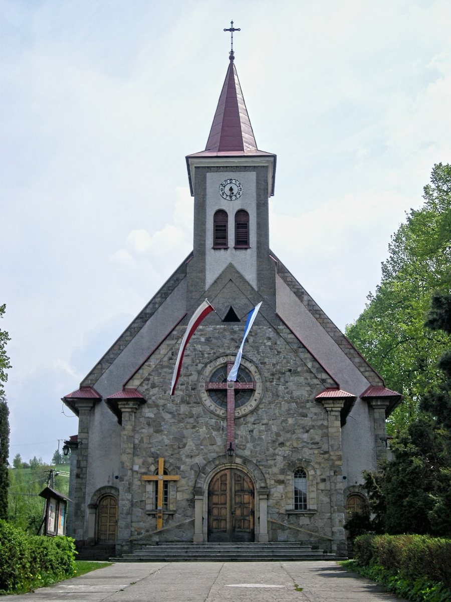
Targanice at a glance
- Targanice lies in the Targaniczanka Valley.
- Three cycling routes are described, measuring 16 km, 22.3 km, and 29.5 km.
- A yellow-marked hiking trail passes through Targanice towards Jawornica and Potrójna.
Which cycling route suits your planned distance?
The cycling routes can first be compared by length: at 16 km, Route No. 16 is the shortest; at 29.5 km, Route No. 4 is the longest; and Route No. 3, at 22.3 km, falls in between. The difference between the shortest and longest route is 13.5 km. All three return to Andrychów. If you choose by distance, you can then take the intermediate destinations mentioned for each route into account.
Route No. 3 runs from Andrychów via Przełęcz Beskid Targanicki, Porębski Groń, and Złota Górka to Targanice and back. Elevations of 562 m, 735 m, and 756 m are given for these named points. Route No. 4 starts at the Rynek in Andrychów, runs via Targanice and Przełęcz Beskid Targanicki through Wielka Puszcza to Porąbka, and returns to Andrychów.
The 16 km route runs from Andrychów via Targanice and Dolne along the Targaniczanka riverbed, continues via Brzezinka Dolna, and then returns. The descriptions therefore differ not only in distance: the routes also mention a mountain pass and elevation points, Wielka Puszcza, and the course of the river. Check current route conditions before cycling.
What is known about the hiking trail?
The yellow-marked hiking trail runs from Porębski Groń through Targanice towards Jawornica and Potrójna. This lets you include a described hiking route in your plans without confusing it with the cycling routes. The directions name the places along the trail and give you an initial guide for making your choice. You should also check current trail conditions before hiking.
Discover more destinations: Wadowice, Leńcze, Inwald, Bęczyn, Sułkowice, Mucharz, Tomice and Klecza Dolna.
FAQ
Where is Targanice?
Targanice lies in the northern part of the Beskid Mały, in the Targaniczanka Valley.
Which of the described cycling routes is the longest?
Route No. 4 is the longest at 29.5 km. Route No. 3 is 22.3 km long, and Route No. 16 is 16 km long.
Where does the yellow-marked hiking trail lead?
It runs from Porębski Groń through Targanice towards Jawornica and Potrójna.
Return to the main travel overview: Wadowice.

