
Discover Chełmiec
Accommodation in Chełmiec
Chełmiec lies at the foot of the Chełmy Hills, by the Starucha stream. Its green-village layout and mining history shape the character of the village; the educational trail and hiking routes offer different points of reference for planning your trip.
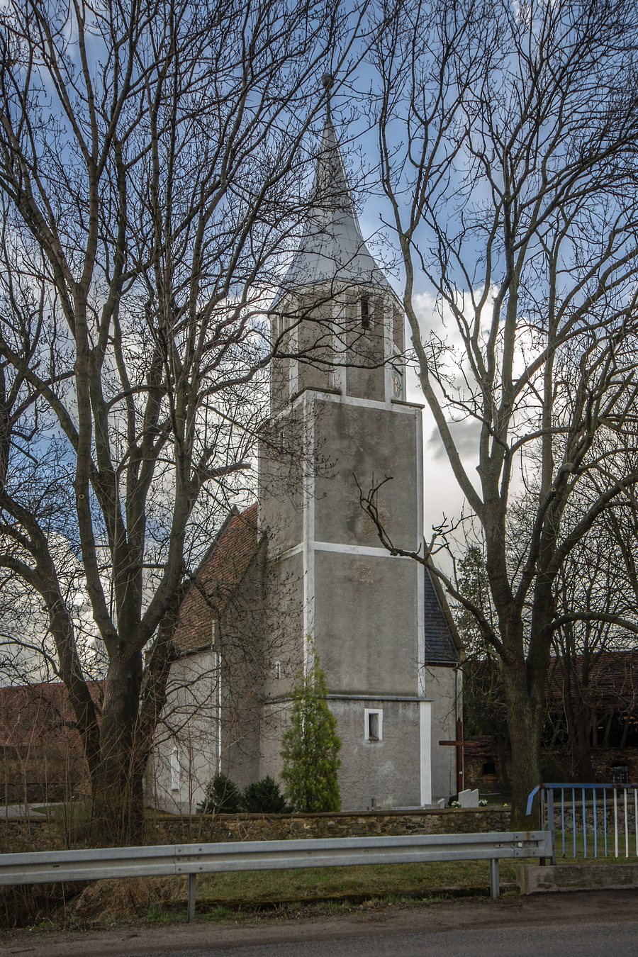 File:SM Chełmiec Kościół św Jana Chrzciciela (4) ID 591363.jpg
Photo: Sławomir Milejski via Source, CC BY-SA 3.0 pl
Chełmiec at a glance
- First mentioned in 1202 under the name “Chelmecz.”
- 6 km west of Jawor, by the Starucha stream and at the foot of the Chełmy Hills.
- The 5.0 km “Śladami kopaczy” educational trail runs between Chełmiec and Raczyce and follows traces of polymetallic mining from the late 19th century.
How can you understand the village’s location and layout?
The hills, the stream, and the direction of Jawor provide different points of reference for finding your bearings. Chełmiec lies 6 km west of Jawor. When comparing places, you can therefore consider both the landscape setting and the distance to a named point of reference.
The village has the layout of a green village. Its green is elongated and spindle-shaped, ending at the church and cemetery in the southwest. A green village arranges its buildings around a central open space. This makes it possible to understand Chełmiec not only by its location, but also by a specific historic settlement form.
What mining traces and routes can you find?
The “Śladami kopaczy” educational trail runs between Chełmiec and Raczyce, following traces of polymetallic mining from the late 19th century. Its length, the two villages it connects, and its historical theme provide clear points of reference when narrowing down your options. Remains of miners’ adits have also been preserved in Chełmiec; they are another part of the village’s mining history.
The Brzeżyny hiking trail runs from Złotoryja via Leszczyna, Chełmiec, and Myślibórz to Grobla and Bolków. The second route of the Kopaczy Trail runs from Chełmiec via Jerzyków, Myślinów, Nowa Wieś Wielka, Lipa, and Radzimowice to Wojcieszów.
The route descriptions differ in their focus: the educational trail emphasizes its length and mining theme, while the other two routes list the places along the way. This lets you choose first by theme or by route. Check current trail conditions before setting out.
What does the historic manor complex tell us?
Chełmiec’s history includes its former affiliation with the Cistercian Order of Lubiąż. The manor included an extensive, roughly elongated rectangular courtyard. The manor’s landscape park lay south of the castle; the castle stood in the center of Chełmiec and was destroyed after 1945. The courtyard, park, and history of the castle add another aspect of local history to the green-village layout.
How can you use the village’s features when searching for accommodation?
When looking for a hotel for a trip to Chełmiec, first match what you know about the village to your interests: its village layout, mining history, or the routes listed above. Then check whether the accommodation’s location suits your personal travel plans.
Discover more destinations: Jastrowiec, Granowice, Męcinka, Kondratów, Paszowice, Bolków.
FAQ
When was Chełmiec first mentioned?
The first mention dates to 1202, when the name “Chelmecz” was used.
What mining traces are associated with the educational trail?
The 5.0 km trail between Chełmiec and Raczyce follows traces of polymetallic mining from the late 19th century.
What characterizes the green-village layout?
The elongated, spindle-shaped green ends at the church and cemetery in the southwest.
To the main travel overview: Jawor.

