
Ryki
Accommodation in Ryki
The wider region around Ryki can be explored through two green-marked cycling routes and the river landscape of the Dolny Wieprz Natura 2000 site. For an initial overview, you might consider a few different questions: What route length suits your plans, which places lie along the longer cycling route, and what is known about the landscape along the Wieprz? The cycling routes and the river landscape are two distinct topics to consider when planning your trip.
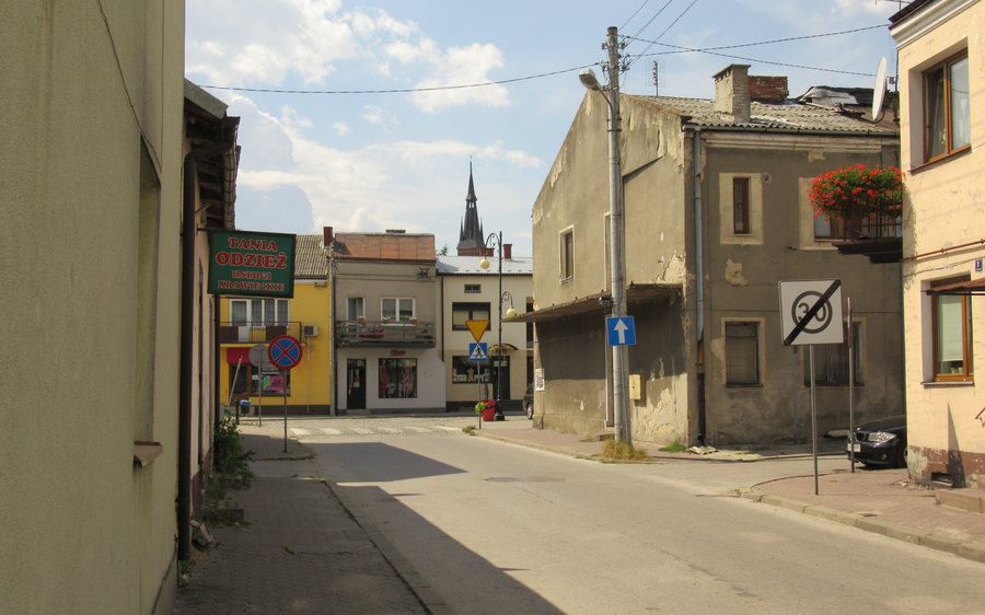
Ryki at a glance
- The green “Szlak Generała Franciszka Kleeberga” cycling route, LU-152, is 72.7 kilometers long and runs from Dęblin to Kock.
- The green “Szlak rowerowy integracji społecznej Gminy Ryki” is 50 kilometers long.
- The Dolny Wieprz Natura 2000 site, PLH060051, includes areas of the Gmina Ryki. Within the protected area, the Wieprz flows in a strongly meandering, natural riverbed.
How do the route lengths compare in the region?
The two figures differ by 22.7 kilometers: the cycling route named “Szlak rowerowy integracji społecznej Gminy Ryki” is 50 kilometers long, while LU-152 measures 72.7 kilometers. If the route length alone is your first consideration, this gives you one shorter and one longer option. However, the distance alone does not tell you how long a ride will take; you should factor in your individual plans.
For LU-152, the route and the places along it are specified as well as its length. The green cycling route runs from Dęblin to Kock via Bobrowniki, Ułęż, Sobieszyn, Wolę Głowską, and Charlejów. This sequence gives you an idea of which places the route connects. The other cycling route is described by its name and its length of 50 kilometers. This lets you distinguish between the information based on whether route length or a named sequence of places matters more for your initial assessment.
Before setting out on a specific tour, check the latest route information and conditions, as route details or conditions may change.
What does the Dolny Wieprz Natura 2000 site describe?
The Dolny Wieprz protected area, PLH060051, includes areas of the Gmina Ryki. The Wieprz flows through the area in a strongly meandering, natural riverbed. “Meandering” describes the pronounced, winding course of a river; together with the description of the river as natural, this conveys the character of the landscape around the waterway. This information concerns the riverbed within the protected area and offers a different kind of orientation from the cycling route lengths.
If your plans depend on the exact boundaries of the protected area, check the latest official data on its boundaries. This allows the landscape information to remain a helpful starting point, while specific plans for the area are based on current boundary data.
Discover more destinations: Brzeźce, Dęblin, Gmina Ryki, Zaryte, Białki Dolne, Powiat Lubelski, Lublin and Krasnystaw.
FAQ
How long are the two green cycling routes?
The “Szlak rowerowy integracji społecznej Gminy Ryki” is 50 kilometers long. The LU-152 cycling route measures 72.7 kilometers; the difference is 22.7 kilometers.
Which places lie along the LU-152 cycling route?
It runs from Dęblin to Kock via Bobrowniki, Ułęż, Sobieszyn, Wolę Głowską, and Charlejów.
What is known about the Wieprz in the protected area?
In the Dolny Wieprz Natura 2000 site, PLH060051, the Wieprz flows in a strongly meandering, natural riverbed. The area includes areas of the Gmina Ryki.
For the broader travel overview: Lublin.

