
Pomiechówek: Fort III, Park and Trails
Accommodation in Pomiechówek
Fort III, Dolina Wkry Park and the railway station in the town centre provide concrete starting points for planning your trip to Pomiechówek. Hiking and cycling trails add to the options; visiting Fort III depends on a scheduled tour date.
Pomiechówek at a glance
- Fort III was built between 1883 and 1888 as part of the first ring of forts.
- Regular visits to the fort are closed; tours are possible on announced dates.
- The railway station is on the Warszawa–Działdowo line in the town centre, on ul. Modlińska.
- Dolina Wkry Park is about 300 m from the railway station.
- The Yellow Hiking Trail, about 12 km long, starts in the centre; the Nadwkrzański Cycling Trail runs through Pomiechówek.
What do Fort III and Dolina Wkry Park offer?
Fort III was built between 1883 and 1888 as part of the first ring of forts. Those interested in fortifications will find a tangible historical point of interest here. The visiting arrangements are also important for planning: regular visits are closed, but tours are possible on announced dates. Check the foundation’s current announcements before making Fort III a fixed part of your itinerary.
Dolina Wkry Park caters to different interests. The park has a rope park, a climbing wall, a zip line over the Wkra, the Wiking playground, and a beach with a promenade. The nature trail complements the play and activity facilities with nature education. Some attractions may operate seasonally, so check which options are available on your visit date.
How do you get from the railway station to the park?
Pomiechówek is accessible via the Warszawa–Działdowo railway line. The station is in the town centre on Modlińska Street. As train services and travel information may change, check the current timetable before travelling. Dolina Wkry Park is about 300 m from the station. The walking route follows Modlińska Street, passing shopping pavilions, a square and the post office. At the statue of Saint Anne at the junction of Modlińska and Nasielska Streets, turn right onto Nasielska Street. Landmarks and routes may change, so check the directions shortly before your visit.
Which trails and kayaking routes suit your plans?
The Yellow Hiking Trail is about 12 km long, starts in the centre of Pomiechówek and runs through the forest. Its approximate length and forest route make it a distinct hiking option. For cycling, the Nadwkrzański Cycling Trail runs through Pomiechówek; no route length is given here. The two trails therefore offer different ways to explore on foot or by bike, without implying a specific walking or cycling time.
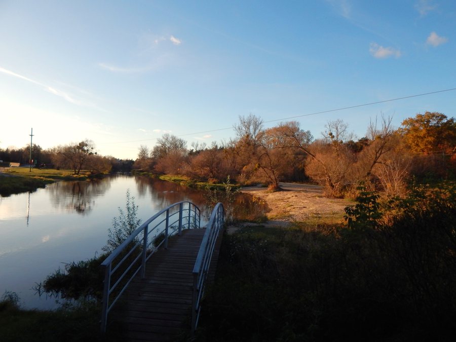
At the municipal level, two kayaking routes run from Joniec to Pomiechówek (26 km) and from Borkowo to Pomiechówek (15 km). The final stretch of the Wkra runs through Pomiechówek municipality and is recommended for water-based recreation. The municipality describes the current as calm and the Wkra as family-friendly. These are general descriptions of the municipal stretch, not a guarantee of conditions at every point.
Discover more destinations: Wilków Polski, Kikoły, Wójtostwo, Czosnów, Henrysin, Błędowo, Śniadowo, Zakroczym.
FAQ
When can you visit Fort III?
Regular visits are closed; tours are possible on announced dates. Check the foundation’s current announcements, as no specific date is implied.
What is included in the nature trail at Dolina Wkry Park?
The nature trail includes educational huts, a butterfly meadow, a maze about the lives of burrowing animals, and animal models made from willow branches.
How do the approximate durations of the kayaking routes compare?
The stated duration for Joniec–Pomiechówek is approximately six hours, and for Borkowo–Pomiechówek approximately four hours. Together with the distances of 26 and 15 km respectively, these estimates help compare the two routes at the municipal level.
For the broader travel overview: Nowodworski.

