
Komorów – Garden City on the Utrata
Accommodation in Komorów
Komorów combines its location on the Utrata with a history as a garden city. Historic villas, protected trees, and an old park provide concrete points of reference to help you get to know the place as you plan your trip.
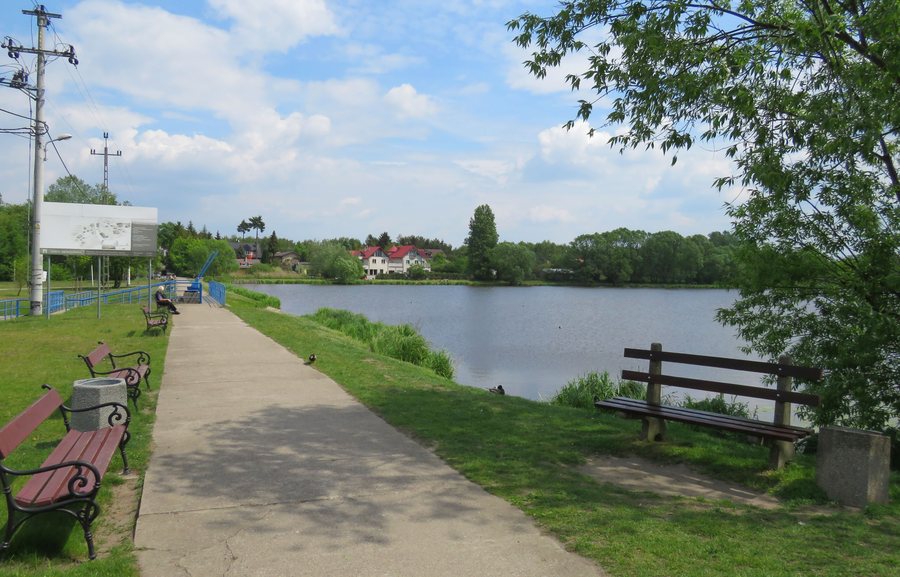
Komorów at a glance
- Komorów lies on the Utrata, about 20 kilometers from the center of Warsaw.
- The town was laid out as a garden city in the 1920s.
- Just under 300 trees are protected, including two historic avenues made up mostly of lime trees. The number may change.
- The Komorów forest settlement area has a historic park with old ash, maple, chestnut, and sycamore trees.
How is Komorów situated geographically?
The Utrata and the distance from the center of Warsaw offer two different points of reference: the first describes the town’s location on the river, while the second places Komorów in relation to central Warsaw. The distance is about 20 kilometers and should be understood as an approximation. If you are comparing destinations, you can use these details as a guide to their location.
What traces of its garden city history can you find?
Komorów was laid out as a garden city in the 1920s. The historic villas in Komorów Osiedle provide a more specific timeline. They date from 1913 to the early 1930s, bringing different periods in the town’s history into view.
Villa “Irusin” at Kolejowa 3 dates from 1913. Later examples include “Marysieńka” at Klonowa 18 (1927–1929), the villas “Malutka Zachodnia i Wschodnia” at Lipowa 8 and 8A (1929), and “Złocienie” at Kolejowa 13 (1931–1933). The precise sequence of dates helps distinguish the buildings from one another in time, rather than grouping them all into a single construction period.
For a trip focused on cultural history, the names, streets, and construction dates offer concrete points of interest. The time gap between “Irusin” from 1913 and the villas built from 1927 onward is particularly clear. At the same time, the dates for the later examples are close together: two villas date from 1929, and “Złocienie” from 1931 to 1933.
What tree and park features are described?
Komorów’s protected trees include just under 300 trees. Among them are two historic avenues made up mostly of lime trees. This is an approximate figure and may change; the lime trees are a specific feature of the avenues and the town.
Another landscape feature is the historic park in the Komorów forest settlement area. The trees mentioned there include old ash, maple, chestnut, and sycamore trees. If you want to compare individual tree species, the park description gives several specific names; for the avenues, the main feature is that they consist mostly of lime trees. These two green spaces can therefore be distinguished by the features described for each.
When looking for a hotel, it can help to consider which aspect of the town matters most for your trip: its garden city history, its dated villas, or its tree and park features. Its location on the Utrata and its approximate distance from central Warsaw complement these cultural and landscape features with a sense of its location.
Discover more destinations: Owczarnia, Otrębusy, Nadarzyn, Janki, Raszyn, Wola Krakowiańska, Piastów, Rozalin.
FAQ
How far is Komorów from the center of Warsaw?
Komorów is about 20 kilometers from the center of Warsaw. This is an approximate indication of distance.
When was Komorów laid out as a garden city?
Its development as a garden city dates back to the 1920s.
Which historic villa in Komorów Osiedle dates from 1913?
“ I rusin” at Kolejowa 3 dates from 1913.
For the broader travel overview: Pruszkowski.

