
Karwica – Beach and protected schoolhouse
Accommodation in Karwica
Karwica can be understood through two distinct themes: Plaża Karwica, with its natural shoreline and wooded steep bank, and the protected former schoolhouse at Karwica 51. A cycling route at the municipal level and a possible kayaking endpoint add to the picture. This allows you to weigh the landscape, architectural history and activities according to your own travel interests.
Karwica at a glance
- There is an unguarded beach by the “Mazury” marina; lifeguard supervision may vary by season.
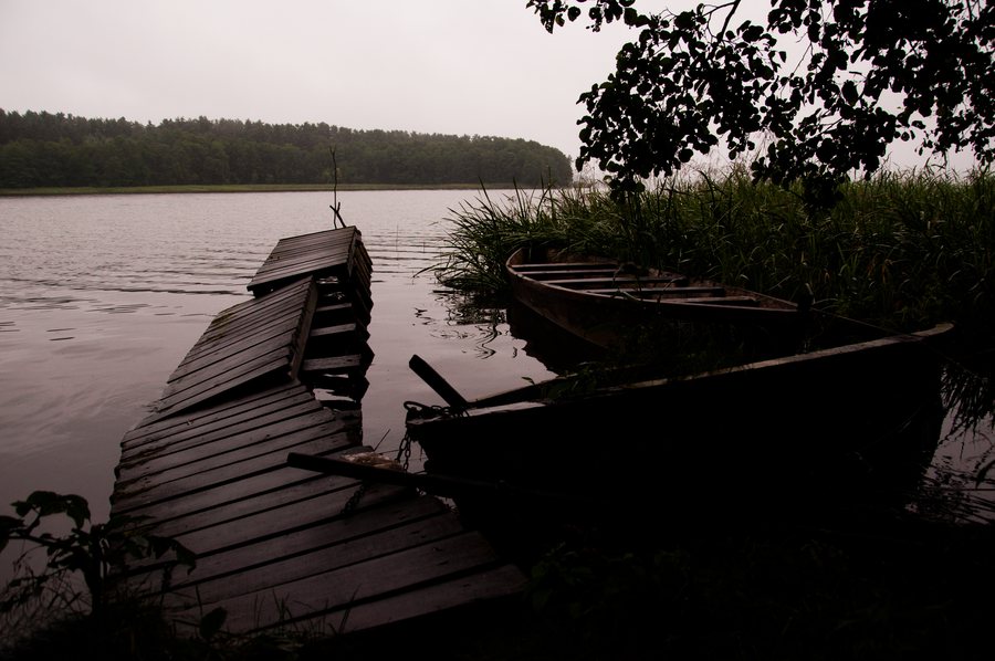
- The shoreline of Plaża Karwica is natural, with pine trees and meadows, as well as a high, wooded steep bank.
- The former schoolhouse at Karwica 51 is a protected immovable monument and is listed in the municipal heritage register.
- Pętla Nidzka is the longest cycling route in Ruciane-Nida municipality; Karwica is a possible endpoint for a kayaking trip on the Krutynia.
What characterizes the shoreline of Plaża Karwica?
To assess the character of the shoreline, look beyond the name of the beach: the area is natural and covered with pine trees and meadows. There is also a high, wooded steep bank. The vegetation and shape of the slope are additional specific features to consider when choosing a destination for its natural surroundings or shoreline.
The beach at the “Mazury” marina is unguarded. Since lifeguard supervision may vary by season, check before your visit if this is important for your plans.
What is protected at the former schoolhouse?
The former schoolhouse at Karwica 51 is protected as an immovable monument and is listed in the municipal heritage register. Protection covers its exterior appearance, form and roof covering, the original layout and design of the façade—including the window and door frames and the arrangement of openings—as well as architectural details and other elements that preserve its historic character.
The scope of protection therefore covers both the exterior form and the interplay of its architectural details—a specific point of reference if you are interested in the area’s architectural heritage.
What cycling and water-based options are available?
At the municipal level, Pętla Nidzka is considered the longest cycling route in Ruciane-Nida municipality. It passes through areas with little traffic. New routes could change its ranking, and conditions may vary locally. The cycling route thus adds a municipal-level comparison to the shoreline and heritage features described specifically for Karwica.
On a kayaking trip on the Krutynia, Karwica can be chosen as an endpoint on the right bank. Other options include Krzyże on the right bank or the small Czaple water station on the left bank beyond the Zamordejsk peninsula. When comparing endpoints, you can also take the bank into account; local conditions may vary.
A separate rule that explicitly applies across the entire lake concerns Lake Nidzkie: motorboats with combustion engines and jet skis are prohibited there. Check the rule locally before going out on a boat.
How can these themes help you choose accommodation?
First consider whether the shoreline landscape, the monument or a particular activity matters most to your trip. This helps you choose a hotel based on your own interests without conflating local and regional themes.
Discover more destinations: Klusy, Niedzwiedzi Rog, Orzysz, Wiartel, Wierzba, Wejsuny, Ruciane-Nida, Krzyże.
FAQ
Is Karwica beach guarded?
The beach at the “Mazury” marina is unguarded. Since lifeguard supervision may vary by season, check before your visit if needed.
Which parts of the former schoolhouse are protected?
Protection covers the house’s exterior appearance, its form and roof covering, the original layout and design of the façade—including the window and door frames—the arrangement of openings, as well as architectural details and other elements that preserve its historic character.
Can Karwica be the endpoint of a kayaking trip?
Yes. On the Krutynia, Karwica can be chosen as an endpoint on the right bank. Other options are Krzyże on the right bank and the small Czaple water station on the left bank beyond the Zamordejsk peninsula.
For the broader travel overview: Piski.

