
Zastań: Nature, Water Landscape and Regional History
Accommodation in Zastań
Zastań combines natural features with a water landscape and regional traces of oil history. The Zastańczyk natural monument is located in Zastań; the water and landscape connections extend to the Wolin municipality, while the oil history is linked to the area around Kamień Pomorski.
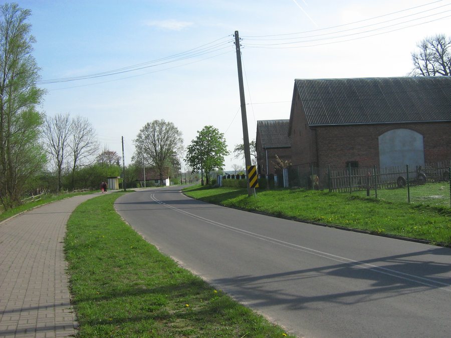 File:Zastań - 2009-04-26.jpg
Photo: Radosław Drożdżewski (Zwiadowca21) via Wikimedia Commons, CC BY-SA 4.0
File:Zastań - 2009-04-26.jpg
Photo: Radosław Drożdżewski (Zwiadowca21) via Wikimedia Commons, CC BY-SA 4.0
The planning area in Zastań lies within the Natura 2000 sites Zalew Kamieński i Dziwna, designated PLB320011, and Ujście Odry i Zalew Szczeciński, designated PLH320018. East of the planning area are the Dziwna River and adjacent wetland and reed areas. When planning a trip at the municipal level, the planning area in Zastań and the broader water landscape of the Wolin municipality are therefore considered together.
What natural features characterize Zastań?
The Zastańczyk pedunculate oak is located in Zastań. It is protected as a natural monument because of its natural, scientific and landscape value. The oak constitutes a single protected natural monument, while the Natura 2000 sites and the wetland and reed areas to the east describe the broader landscape setting of the planning area.
The Zastańczyk pedunculate oak has a trunk circumference of 522 cm, measured at a height of 1.3 m.
Which water landscape is part of the wider travel area?
In the Wolin municipality, the Szczecin Lagoon, the Dziwna River and Lake Koprowo form part of the regional water landscape. This also includes the Wolińskie Lakeland, the lakes Ostrowo and Piaski, and the waters of the Baltic Sea. In addition, there are forest complexes, including the forests of Woliński National Park, a varied landscape, existing tourist routes, and good road, rail and water connections. Water bodies account for 21% of the municipality's area. The broader regional context also includes forest complexes, existing tourist routes, and road, rail and water connections in addition to water bodies. The 21% refers to the area of the Wolin municipality and not only to individual water bodies.
The lower course of the Lewieńska Struga is regulated and deepened between Lake Kołczewo and the Kamień Lagoon.
What opportunity for physical activity was created in Zastań?
In 2025, an outdoor fitness facility was installed in Zastań. Its elements include a horizontal ladder, a vertical ladder, a bench, a pull-up bar with handles, and gymnastic rings. An information board with rules for use was also installed there.
FAQ
Which archaeological site is located in Zastań?
The registered archaeological site of Zastań, site 2, is located in Zastań. It lies in AZP area 18-07/6.
Is access to the Ośrodek Produkcyjny Zastań possible?
Access to the Ośrodek Produkcyjny Zastań is possible only with prior approval from PGNiG.
Where is the Ośrodek Produkcyjny Zastań oil production center located?
The Ośrodek Produkcyjny Zastań oil production center belongs to the Kamień Pomorski oil field. It is located on Wolin Island north of Zastań, in the direction of the Kamień Lagoon.
When were the oil deposits in the area around Kamień Pomorski discovered?
The oil deposits in the area around Kamień Pomorski were discovered in 1972 in the Main Dolomite formations.
More travel information about Miedzywodzie.

