
Kłos: Cycling Routes and Local History
Accommodation in Kłos
Kłos is an interesting destination for travelers who want to include cycling routes and local history in their plans. Two named cycling routes pass through the village, and a section of the Pomorskiego Szlaku Św. Jakuba also starts here. Their lengths and routes give you concrete points of reference for comparing the different route options according to your interests.
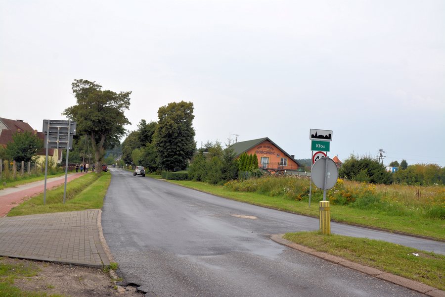
Kłos at a glance
The yellow “Trakt Rybogryfa” cycling route is 23.7 km long and was designed for family bike trips. The blue “Śladami końskich podków” cycling route covers 57.4 km. The Sianów section of the Pomorskiego Szlaku Św. Jakuba starts in Kłos and leads to Bielkowo.
Which cycling routes pass through Kłos?
The yellow “Trakt Rybogryfa” runs from Góra Chełmska through Kłos, Węgorzewo and Policko to Dzierżęcino. At 23.7 km long and designed for family trips, it is a clearly described option for a bike ride.
The yellow cycling route follows a straight, scenic stretch alongside Lake Policko and to an Indian village.This route description includes not only place names but also notable points to help you orient yourself when considering its course. The blue cycling route is considerably longer, at 57.4 km. If you are choosing between the two routes, the difference in length and the yellow route’s explicitly stated purpose for family trips are useful points of comparison.
How can you find your way along the yellow route?
For cyclists heading towards Sianów, a specific direction is given on the “Trakt Rybogryfa”: after 4.3 km, turn right. On the left, you pass a wayside cross in Kłos; the same cross is also mentioned in connection with the blue hiking trail. These details can help you recognize a described location along the route without conflating the two trails.
What characterizes the blue cycling route?
“Śladami końskich podków” passes through Skwierzynka, Osieki, Rzepkowo, Iwięcino, Skibno, Kędzierzyn, Kłos, Maszkowo and Węgorzewo. The route is characterized by numerous natural attractions, historic buildings, monuments and equestrian centers. Its theme thus differs from that of the yellow route, which is explicitly designed for family trips. The length of 57.4 km is an important difference to consider when comparing the two cycling routes.
What role does Kłos play on the pilgrimage route?
The Sianów section of the Pomorskiego Szlaku Św. Jakuba starts in Kłos. From there, the route runs through Sianów, Skibno, Skibienko, Sucha Koszalińska, Kleszcze, Osieki, Rzepkowo and Iwięcino to Bielkowo. The sequence of places shows the described course of this section. Anyone interested in pilgrimage routes can therefore consider Kłos, independently of the two cycling routes, as the named starting point of a longer stretch of trail.
What is known about the history of Kłos?
Kłos was first mentioned in 1614. Also in 1614, with the consent of the magistrate of the city of Koszalin and the community, a manor farm was established there, known as Klusshof, “Stary Kłos” or “Wielki Kłos.” The manor farm belonged to the city.
During the Seven Years’ War, Kłos and the manor farm were devastated. Kłos was resettled in 1764.
If you would like to compare Kłos with other places, you can also find information about Żydowo, Rosnowo, Manowo, Polanow, Sieciemin, Gąski, Stoisław and Sarbinowo.
FAQ
How long are the two cycling routes through Kłos?
The yellow “Trakt Rybogryfa” is 23.7 km long. The blue “Śladami końskich podków” cycling route covers 57.4 km.
Where does the Sianów section of the Pomorskiego Szlaku Św. Jakuba start?
It starts in Kłos and runs through several named places to Bielkowo.
When was Kłos first mentioned?
Kłos was first mentioned in 1614. A manor farm was also established there that year.
For the main travel overview: Koszalin.

.jpg)