
Discover Barnówko
Accommodation in Barnówko
Barnówko combines an expansive park with fish ponds, mature trees and several traces of the past. The park lies south of the village, by the Myśla River. Its landscape and historical points of interest offer different considerations when balancing your interests in nature and history as you plan your trip.
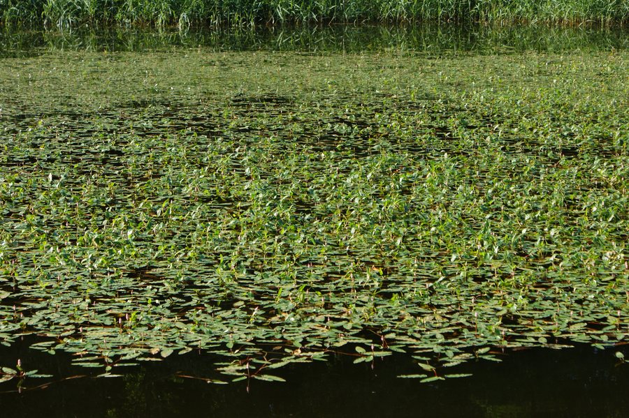 Persicaria amphibia, community in a pond near Barnówko by Myślibórz (NW Poland)
Photo: Krzysztof Ziarnek, Kenraiz via Wikimedia Commons, CC BY-SA 3.0
Barnówko at a glance
- The park was laid out in the second half of the 18th century.
- It covers 44 hectares, including 36 hectares of fish ponds laid out in 1781.
- Some valuable old trees remain in the park, including two oaks called “Guślarze”.
- The red Templar and Hospitaller Trail passes through Barnówko; the village is at kilometre 28.
What shapes the landscape of the park?
The area figures show just how much the fish ponds define the park: 36 of its 44 hectares are ponds. They were laid out in 1781, while the park itself dates to the second half of the 18th century. The ponds therefore account for most of the stated park area and are a striking feature of its landscape.
Another point of interest is the mature tree cover, some of which has survived. This includes two oaks named “Guślarze”. The ponds and the individually named trees give the park contrasting features: the water landscape’s sheer extent on the one hand, and the distinctive character of individual surviving trees on the other. Together, these features give the park both a landscape and a historical dimension.
What historical traces can you find in the park?
The park grounds include the ruins of a castle that burned down during the war. There is also a monument to a German soldier from the First World War. These represent two distinct historical references: the destruction of the castle during the war and a memorial to an individual soldier.
The grounds also contain the site of the last airfield of the 1st Fighter Regiment “Warszawa”. The castle ruins, monument and airfield site offer three distinct themes to consider when planning a cultural and historical trip. You can weigh the castle’s history separately from the military history points of interest when deciding what appeals to you about Barnówko.
Which red trails should you distinguish between?
The red Templar and Hospitaller Trail passes through Barnówko; the village is at kilometre 28 of the route. This gives Barnówko’s position along the trail. The red “Wokół Dębna” walking trail also runs through the wider region and is approximately 25 kilometres long.
These details describe different things: Barnówko’s kilometre position is given for the Templar and Hospitaller Trail, while “Wokół Dębna” is described by its approximate length. This distinction helps with orientation without treating the routes as the same. The walking trail in the surrounding area is a separate point of reference from the trail that passes through Barnówko.
What should you consider when choosing accommodation?
If you are also considering routes, distinguish the Templar and Hospitaller Trail’s kilometre position from the approximate total length of the “Wokół Dębna” walking trail.
Discover more destinations: Mysliborz, Parzensko, Rózansko, Dabrowa, Rów, Karsko, Zydowo and Dębno.
FAQ
Where is the park in Barnówko?
The park lies south of the village, by the Myśla River.
How large are the park and its fish ponds?
The park covers 44 hectares. Of this, 36 hectares are fish ponds laid out in 1781.
Which red trail passes through Barnówko?
The red Templar and Hospitaller Trail passes through Barnówko; the village is at kilometre 28 of the route.
To the main travel overview: Soldin.

