
Jaroslawiec: Cliffs and Amber Museum
Accommodation in Jaroslawiec
Jarosławiec can be viewed through three distinct aspects: its cliffs, the Amber Museum, and a route linking several places. When planning your trip, this means that the landscape, museum displays, and the town’s place in a longer route can each serve as a different focus.
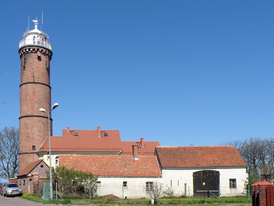 File:Jaroslawiec - Lighthouse - latarnia morska 2012 (2).JPG
Photo: Alina Zienowicz ( Ala_z ) via Wikimedia Commons, CC BY 3.0
Jarosławiec at a glance
- The cliffs stretch for two kilometers and reach heights of up to 45 meters in places.
- The Amber Museum shares information through immersive displays and modern effects.
- A route runs from Wicie through Jarosławiec and Jezierzany, then toward Korlino, Królewo, Złakowo, and the voivodeship border.
What do the measurements tell you about the cliffs?
The two kilometers describe the length of the cliffs; they reach heights of up to 45 meters only in places. The figures therefore reflect two different aspects of the coastal landscape: its length and the height of individual sections. If you compare destinations by their landscape, these figures give you a concrete sense of the scale of the cliffs, without implying that the entire coast reaches the maximum height. The distinction between length and height makes the description more vivid.
What does the Amber Museum show?
The Amber Museum shares information about amber through immersive displays and modern effects. The scenes include a primeval forest and a mine; insects preserved in amber inclusions are also featured. This brings together different forms of presentation: staged, immersive scenes and amber containing insects. If amber interests you as a travel theme, these displays offer concrete points of interest. The museum offers a different focus from the cliffs: amber takes center stage here, while the coast is described through its physical form.
What role does Jarosławiec play in a route?
The route described runs from Wicie through Jarosławiec and Jezierzany, then toward Korlino, Królewo, Złakowo, and the voivodeship border. Jarosławiec lies between Wicie and Jezierzany; the route then continues through other places. This makes it possible to consider the town not only as a destination in its own right, but also as part of a trip with several stops. When planning a route, you can use this sequence to decide whether Jarosławiec fits into your itinerary or whether you would prefer to make it your main focus.
What is included in the protected landscape area nearby?
The “Pas pobrzeża na zachód od Ustki” landscape area, designated in 1981, lies nearby. It includes the beach and its immediate hinterland. Its coastal features include dunes near Wicko and a cliff near Jarosławiec. The regional landscape therefore includes not only coastal landforms, but also the beach and hinterland. These provide additional perspectives to help you get your bearings: the cliffs at the destination and the protected landscape area nearby.
How can you use these priorities when choosing a hotel?
When looking for a hotel in Jarosławiec, first decide which aspect of the trip matters most to you: the coastal landscape, amber as a museum theme, or a route with several stops. Then compare the specific location and amenities of each option with your own priorities.
FAQ
How long are the cliffs in Jarosławiec?
They stretch for two kilometers. In places, the cliffs reach heights of up to 45 meters.
What does the Amber Museum feature?
The immersive displays include scenes of a primeval forest and a mine, as well as insects preserved in amber inclusions.
Which places does the route pass through?
It runs from Wicie through Jarosławiec and Jezierzany toward Korlino, Królewo, Złakowo, and the voivodeship border.
For the wider travel overview: Postomino.

