
Pădureni – Archaeology and River Landscape
Accommodation in Pădureni
At the Pădureni – Pusta Mică archaeological site, a very rich body of material from the Bronze Age and the Dacian-Roman period was discovered. It was arranged around a fortified tell. The site thus combines traces of two historical periods with the preserved form of a fortified settlement.
Those choosing a hotel in Pădureni can compare travel dates, room categories and cancellation policies on the offers page.
Archaeology and History
Outside the village of Pădureni, to the north, lies the section of the earthwork Valul de pământ de la Pădureni - Valul roman II/ Iarc on the left slope of a small tributary valley of the Timiş River. The location combines its connection with the village with a clear cardinal direction, a slope and a section of a watercourse.
About 1 km south of Pădureni, in the direction of Jebel, a small medieval sacral building once stood at the site known as Movila Hârţului or Movila Bisericuţa. The historical name of the settlement of Pădureni was Lighed; “lighet” means “forest” in Old Turkish. Thus, alongside the archaeological sites, a former settlement name and a separate medieval site also emerge in the history of the area.
Culture
The Mănăstirea Ortodoxă Timişeni monastery is located in the surroundings of Pădureni. The Biserica Sfântul Ioan Botezătorul church is situated in the immediate vicinity of Pădureni. The surroundings of Pădureni also include the Biserica Romano-Catolică Şag church and the Biserica Adormirea Maicii Domnului church. Thus, the area around the village contains a monastery as well as several churches with different names and associations.
Landscape
The Pădureni – Mlaca Sud archaeological site is located on one of the higher river ridges between former tributaries of the Timiş. The Pădureni – Pădurea Unip archaeological site lies approximately 5 km northeast of Pădureni on the southern bank of the Timiş River, at the boundary between Pădurea Unip and Pădurea Lighed.
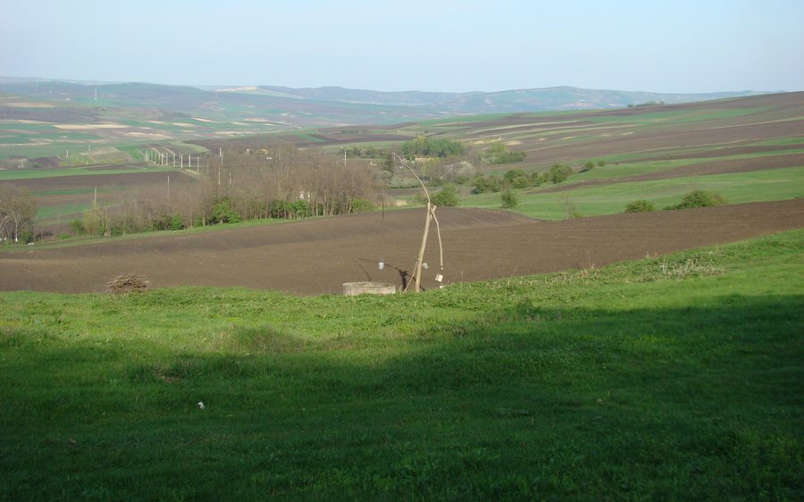
The Pădureni – Pusta Mică archaeological site lies in the Câmpia Timişului, a subdivision of the Câmpia de Vest, on a river ridge approximately 1 m higher than the surrounding landscape. The Pădureni – Pusta Mică tell is surrounded by at least one circular defensive ditch.
The sites described here are therefore located on higher river ridges, between former tributaries or on the southern bank of the Timiş. In the case of Pădureni – Pădurea Unip, this is supplemented by the approximate distance of about 5 km, the northeastern direction and the boundary between Pădurea Unip and Pădurea Lighed. Pădureni – Pusta Mică is described in greater detail through its landscape classification, the ridge approximately 1 m higher than its surroundings and the at least one circular defensive ditch.
The landscape of Pădureni thus encompasses different spatial scales: individual sites are directly associated with river ridges or tributaries, while another site is located on the southern bank of the Timiş and at a named boundary. The names Câmpia Timişului and Câmpia de Vest add to this geographical classification.
Geographical Setting
The Fântâna lui Goga spring is located in the surroundings of Pădureni. In the wider regional area around Pădureni are the Moşniţa elevation, the Movila Giulvăz elevation and the Dealul Flămând elevation.
For the overarching travel overview: Padureni.

.JPG)