
Gërmenj: Nature Reserve and Mountain Landscape
Accommodation in Gërmenj
The Gërmenj Managed Nature Reserve is designated in Albania as a Category IV managed nature reserve within the protected areas system.
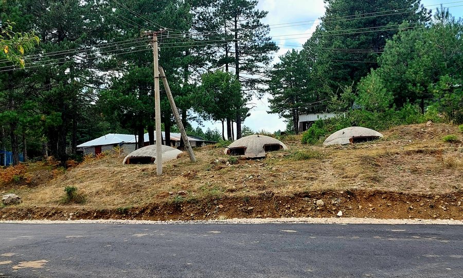
Natural Landscape
The reserve stretches along the Kamenik–Mali i Vashës mountain ridge at elevations of approximately 1,000 to 2,043 metres. It encompasses deep valleys, steep and gentler slopes, peaks above 2,000 metres, species-rich meadows and clearings in the forest. The wetlands in the Gërmenj Nature Reserve are of landscape and floristic value.
The elevation connects different landscape forms within the same natural area: lower sections with valleys and wetlands are followed by slopes, forest clearings and high-altitude peaks. For your own day planning, these natural features can be considered separately, without limiting the reserve to just one landscape type or leisure activity.
Species and Waterways
The pine, beech and fir forests of the nature reserve provide important habitat for brown bears, wolves and roe deer. Six types of natural habitats, three significant plant species and three endemic species have been recorded in the nature reserve. Mali i Koziakut forms the igneous slope of Gërmenj. The cold springs in the Gërmenj Nature Reserve also have tourism and recreational value.
From Lake Shelegur, the mountain ridges of the Nemërçka range can be seen behind the water. Different landscape themes and leisure activities can be considered separately when planning, rather than reducing the area to a single focus. This places the forest, wetlands, springs, lake and mountain ridges alongside one another as distinct aspects.
Exploring the Area
The Gërmenj-Shelegur Managed Nature Reserve offers opportunities for extended walks. Picnics are also available as a leisure activity in the Gërmenj-Shelegur area. Walks and picnics describe different ways of using the area throughout the day, while the natural features and waterways form the landscape setting.
The Tisi i Golos tree group in the Gërmenj-Shelegur area is a tree formation covering approximately two hectares that is considered special in Albania. It reaches a height of up to 13 metres; its trunks have a diameter of 18 to 22 centimetres.
Other Places
For further travel planning, you can also explore Gozhdarazhde, Tuminec, Kamenicë, Ersekë, Dardhë and Tushemisht.
When planning accommodation in Gërmenj, travel dates, room categories and cancellation policies can be compared separately. This keeps the selection aligned with your own requirements, while the nature reserve, lake, walks and regional dishes remain distinct topics in the travel planning process.
Route and Wider Surroundings
Gërmenj-Shelegur is accessible via the Korçë–Ersekë–Leskovik national road. Between Radan and Gërmenj, a sign points to the access road; it is located 25 kilometres before Leskovik.
In the wider surroundings of Gërmenj, Farma Sotira on the Ersekë–Leskovik national road provides pitches for up to 30 motorhomes. In the wider surroundings of Gërmenj, Farma Sotira serves traditional dishes such as cabbage with nettles, sheep’s yoghurt, oven-roasted poultry and cured meat.
For the higher-level travel overview: Korçë County.

