
Doubrava: Hotels and Accommodations
Accommodation in Doubrava
Geographical Location
Doubrava lies on the right bank of the Vltava River and in a small valley with a small watercourse that frequently caused local flooding.
Those wishing to book a hotel in Doubrava can use the information about the locality as a guide.
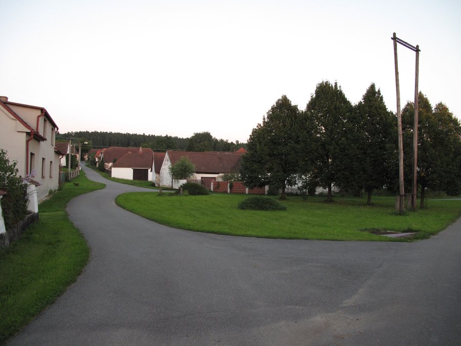 File:Doubrava (Chrášťany), náves se sušičkou na hadice.jpg
Photo: Juandev via Wikimedia Commons, CC BY-SA 3.0
File:Doubrava (Chrášťany), náves se sušičkou na hadice.jpg
Photo: Juandev via Wikimedia Commons, CC BY-SA 3.0
In the vicinity of Albrechtická Hladná, the torso of an unfinished bridge pier is accessible from the left bank. Also nearby, when the water level is low, the roof of a concrete ŘOP fortification can be seen from the opposite bank of the river.
The former Nový Mlýn was later converted into a hydroelectric power plant for the Platan brewery in Protivín.
Culture and History
The SAS 33590 archaeological site in the cadastral area of Doubrava nad Vltavou includes a currently protected burial mound site. Doubrava was first mentioned in writing in 1295 under the name “Dubraua”.
Numerous archaeological sites in the vicinity of the municipality of Chrášťany attest to settlement in the region as early as the Bronze Age. At Doubrava-Kamenný vrch, only one burial mound remains from an unknown number of burial mounds.
In Doubrava nad Vltavou, two log granaries at House No. 23 are designated as immovable cultural monuments. The wooden granary at House No. 23 is a protected cultural monument. In the center of Doubrava, there is a village chapel in front of the “U Houšků” inn.
Local Character
The “U Houšků” inn has been owned and operated by the same family since October 1, 1931.
To the higher-level travel overview: Chraschtian.

,_n%C3%A1ves_se_su%C5%A1i%C4%8Dkou_na_hadice.jpg)