
Košín: Hotels and Accommodation
Accommodation in Košín
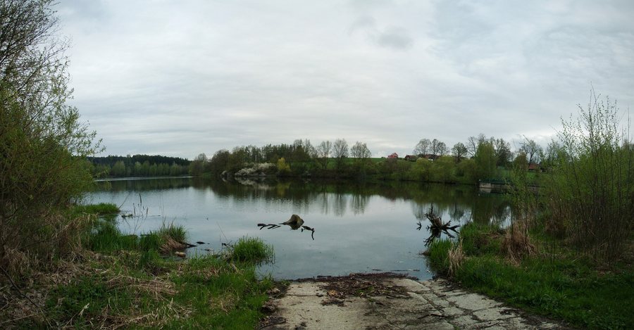
The 19.8-hectare Košín I Reservoir lies on the Košínský potok; Košín is the nearest municipality.
Nature and Bodies of Water
The Mokřad Košín wetland comprises a main pond with varying water depths, a littoral zone, and small ponds that provide habitats for small animals. The wetland revitalizes the site of the former Košínský pond. The planting of native trees and shrubs created a natural environment there that contributes to biodiversity and nature conservation.
The municipal planning document designates part of the Košín I Reservoir with riparian vegetation as a local biocentre. A varying water depth of 0.3 to 1.3 m, an approximate length of 82 m, and a water surface area of 755 m² are planned for the main pond of the wetland. The Košínský potok includes a floodplain and riparian vegetation.
A body of water near Košín is almost 2 km long.
Culture and History
Silver was mined in Košín until 1802. The Church of Svatá Anna and the mountains Smrčí, K Doubravě (Radenín-Bítov), and Javorová Skála are located in the vicinity of Košín. In the wider surrounding region are Vápenka Mountain and the Church of Svatý Jan.
Routes and Activities
Košín is suitable for walks and hikes. Cycle Route No. 11 leads from Radimovice in the direction of Košín. Košín is considered suitable for water sports.
Other places: Psárov, Hodonice, Klenovice, Krída, Nadějkov, Šebířov, Černýšovice, Sezimovo Ústí
To the higher-level travel overview: Tábor District.

