
Vainupea: Coast, River Mouth and Chapel
Accommodation in Vainupea
Vainupea lies on the coast, at the mouth of the Vainupea River and on the eastern boundary of Lahemaa National Park. The beach, trails and a historically notable chapel offer different points of interest. If you are looking for accommodation, you can choose Vainupea based on your main interest: coastal scenery, hiking or cultural history.
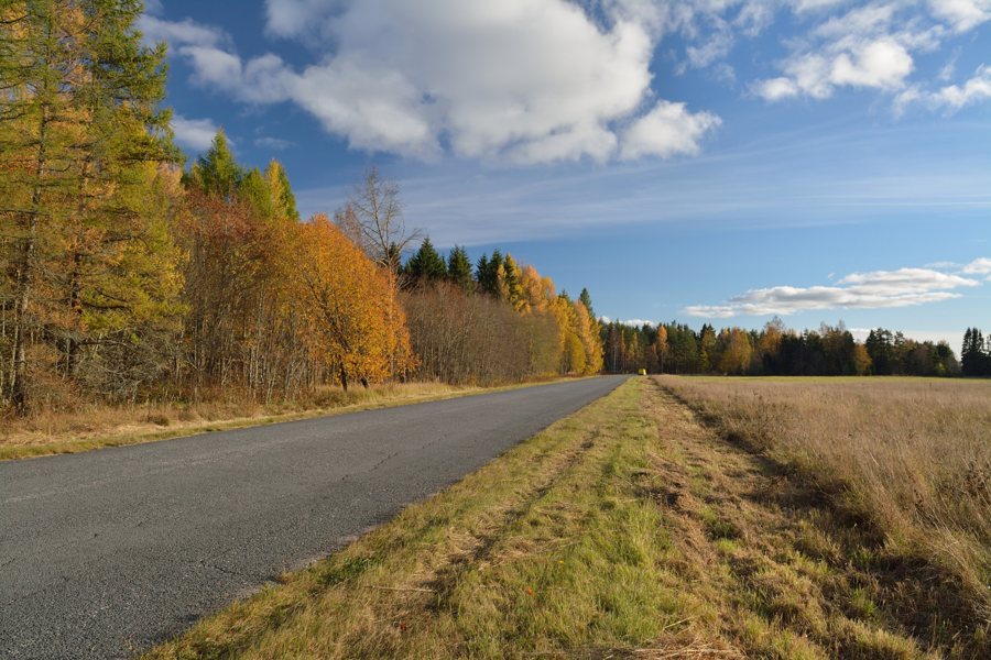 File:Võle-Vainupea-Kunda kõrvalmaantee Võle külas.jpg
Photo: Ivar Leidus via Wikimedia Commons, CC-BY-SA-3.0
Vainupea at a glance
- Vainupea lies on the eastern boundary of Lahemaa National Park and at the mouth of the Vainupea River.
- The village has been known as a summer resort since the 19th century.
- Suureliiva Beach is at the end of the village and has a stony shore.
- Vainupea Chapel was first mentioned in 1741; St. John’s Chapel was built from 1888 to 1893.
- At the Vainupea rest area, a boardwalk leads from the car park to the coast.
What defines the Vainupea coast?
The location can be understood through two distinctive coastal features: the mouth of the Vainupea River and Suureliiva Beach at the end of the village. The shore there is stony. This gives you different points of reference for planning your trip: the river mouth and a named beach with a stony shore.
From the village centre, the Kaarna erratic boulder, also known as Pruudikivi, can be reached via the coastal trail in the direction of the river mouth. The names Kaarna and Pruudikivi refer to the same erratic boulder. This gives you a specific destination to connect with the coastal route, without conflating the beach and the river mouth.
What stories do the beach and chapel tell?
Vainupea has been known as a summer resort since the 19th century. Even earlier dates relate to the beach and chapel: the beach was first mentioned in writing in 1499, and the chapel was first mentioned in 1741. Vainupea St. John’s Chapel was built later, from 1888 to 1893, in the Historicist style. The dates therefore refer to different things: the beach’s first recorded mention, the chapel’s first mention and the construction period of St. John’s Chapel.
Concerts are also held at Vainupea Chapel. If you would like to consider cultural points of interest alongside the coast when choosing a destination, the chapel’s history and concerts add architectural and musical dimensions to the picture of the village.
Which trails and crossings matter when planning?
At the Vainupea rest area, a boardwalk leads from the car park to the coast. The historic suspension bridge is a separate feature and can be crossed safely year-round. One description refers to the route from the car park to the shore, the other to a bridge crossing. You can include both separately in your plans.
A 13-kilometre forest hiking trail runs from Vainupea to Oandu. The two route descriptions answer different planning questions: the boardwalk connects the car park and the coast, while the hike specifies a distance and two places.
FAQ
Where is Vainupea?
Vainupea lies on the eastern boundary of Lahemaa National Park and at the mouth of the Vainupea River.
What is Suureliiva Beach like?
The beach is at the end of Vainupea village and has a stony shore.
How long is the hike from Vainupea to Oandu?
The forest hiking trail from Vainupea to Oandu is 13 kilometres long.
What historical information is there about the chapel?
Vainupea Chapel was first mentioned in 1741. Vainupea St. John’s Chapel was built in the Historicist style from 1888 to 1893.
For the broader travel overview: Vainupea.

