
Mahu: Coastal History, Nature and Hiking
Accommodation in Mahu
In Mahu, coastal history, nature conservation and hiking can be explored at specific locations: the historic coastline stretches from Toolse to Aseri, and a trail runs parallel to the Mahu bog. If you are looking for accommodation, your interests in history, nature or outdoor activities can be a starting point.
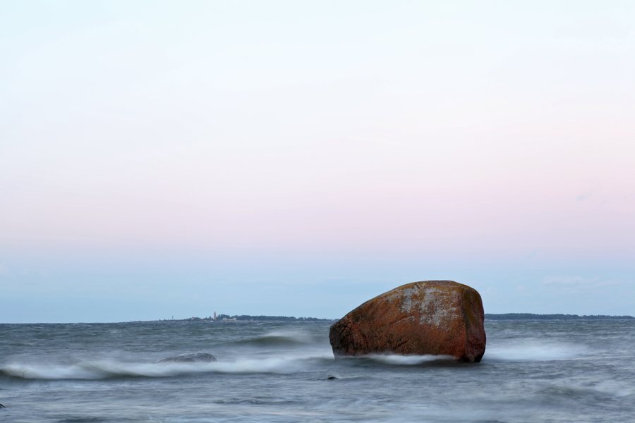
Mahu at a glance
- Coastal trade has been carried out along Mahu’s historic coastline for centuries.
- Mahu (Maum, Maholm) was the former name of a historic parish and was later replaced by Viru-Nigula.
- An area by the Pada River protects river and stream habitats (3260) as well as the habitat of the European river lamprey.
- A hiking trail runs parallel to the Mahu bog, from the Unukse-Mahu road to the Kunda-Malla-Ojaküla road.
What does Mahu’s history tell us?
The coastal history is closely linked to trade: coastal trade has been carried out along Mahu’s historic coastline for centuries. Mahu (Maum, Maholm) was the former name of a historic parish and was later replaced by Viru-Nigula. The ports of Mahu and Lontova were also centres of so-called friendship trade. These three aspects have different meanings: coastal trade describes the long-standing use of the coast, the parish name is a historical designation, and friendship trade is associated with the two ports.
What aspects of nature are of interest in Mahu?
By the Pada River, the protected area safeguards the habitat type rivers and streams (3260), as well as the habitat of the European river lamprey (Lampetra fluviatilis). This concerns both a named habitat type and the habitat of a specific species. In addition, the place name Mahu küla is associated with the Mahu-Rannametsa looduskaitseala protected area, more specifically with the Mahu-Rannametsa LKA, Veskilauri skv. This precise designation gives you another point of reference when including nature-related interests in your travel plans.
How is the hiking trail by the Mahu bog laid out?
The hiking trail runs parallel to the Mahu bog, from the Unukse-Mahu road to the Kunda-Malla-Ojaküla road. Its two endpoints are therefore identified by road names, while the bog provides the landscape reference for the route. When preparing for the walk, the road names can serve as specific points of reference. The route is especially interesting for travellers looking for a trail with named endpoints and a connection to a bog.
What practical information can help with getting your bearings?
The planning area is accessible via the public paved Unukse-Mahu road. In 2025, the installation of locked waste-sorting bins was completed in the Mahu beach area. The municipal project covered the categories glass, plastic, household waste and organic waste. These are two different details to bear in mind when preparing for your trip: a named access road to the planning area and an infrastructure project in the beach area with a specified timeframe.
How can you focus your accommodation search?
Base your choice on this focus and check specific options for your travel dates.
Discover more destinations: Unukse, Viru-Nigula.
FAQ
Which names were used for the former name of the parish?
Mahu, Maum and Maholm are forms of the former name of a historic parish. It was later replaced by Viru-Nigula.
Which habitats are protected by the Pada River?
The protected habitats are the habitat type rivers and streams (3260) and the habitat of the European river lamprey (Lampetra fluviatilis).
What is the route of the hiking trail by the Mahu bog?
It runs parallel to the Mahu bog, from the Unukse-Mahu road to the Kunda-Malla-Ojaküla road.
For the wider travel overview: Viru-Nigula.

