
Discover Szakáld: Churches, Landscape and Regional Orientation
Accommodation in Szakáld
Szakáld lies southeast of Miskolc and Nyékládháza. Its location, the plain between the Hejő stream and the Sajó River, and its two churches provide concrete points of reference for the village. If you are looking for a hotel in Szakáld, the stated distances and the directions described will help you get your bearings. The wider travel destination of Borsod-Abaúj-Zemplén also offers nature and culture topics to explore.
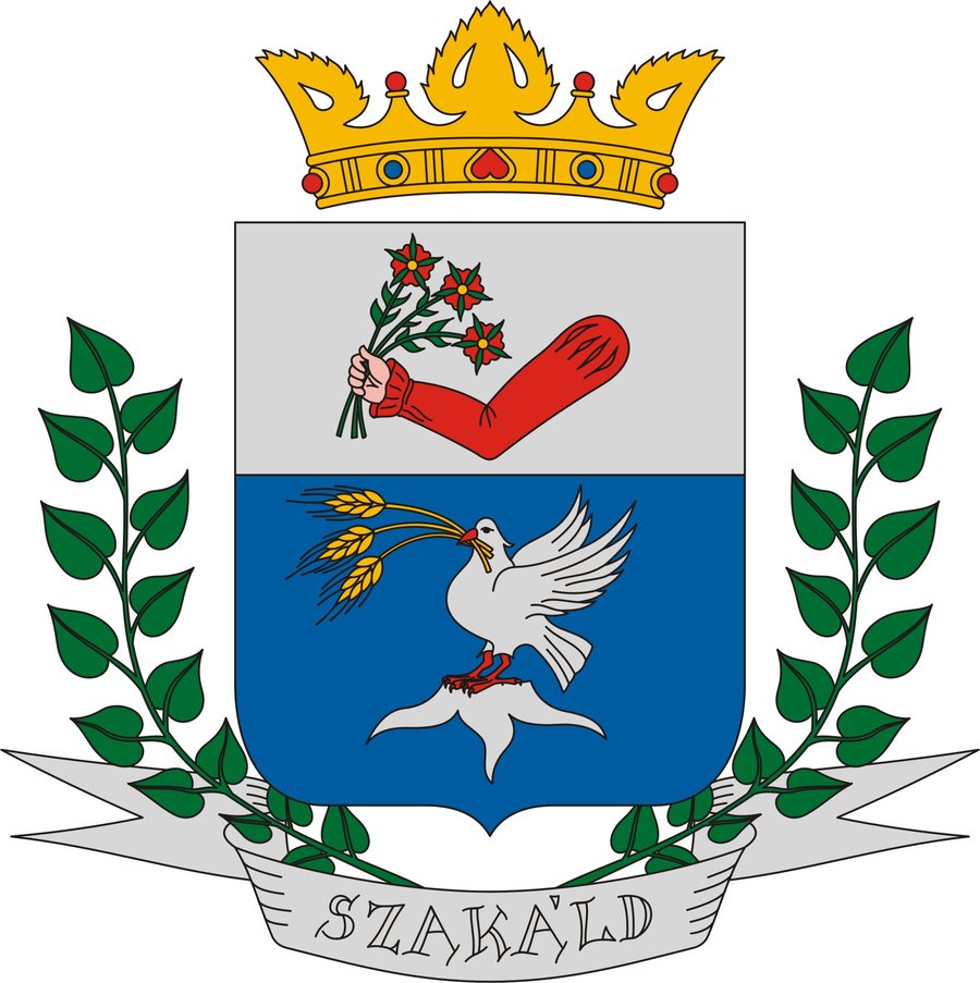 Coat of arms of Szakáld, Hungary
Photo: Nemzeti Fejlesztési Minisztérium via Wikimedia Commons, Public domain
Szakáld at a glance
The stated distances are 22 km to Miskolc and 10 km to Nyékládháza. Szakáld can be reached via the Nyékládháza–Mezőcsát main road: at Hejőszalonta, turn off the road; from there, it is 2 km to the village.
The village lies on a plain bordered by the Hejő stream and the Sajó River. The Mezőcsát–Nyékládháza railway line also runs along the village boundary. It has a stop called Hejőszalonta; passenger services were discontinued on 4 March 2007.
How does the landscape help you get your bearings?
The two waterways are prominent geographical reference points. The village’s history also includes the danger that flooding from these waters posed to residents in earlier times. Today’s geographical perspective and this historical experience are two different ways of looking at the same landscape.
Which churches define the village?
The renovated Roman Catholic Church of St Anne has a wooden roof turret. The Greek Catholic church has a different historical significance: when it was built in 1912, it was consecrated in memory of those who fell in the Battle of Muhi. A 2020 report describes it as Szakáld’s most important attraction.
The two churches therefore differ both in denomination and in the documented details of their architecture and history. At the Church of St Anne, the wooden roof turret is the specific architectural feature; at the Greek Catholic church, the consecration and its commemorative purpose take centre stage.
What should you plan for your journey?
The road information provides a starting point for route planning. Check current road conditions before setting out. The railway line along the village boundary, by contrast, comes with a historical limitation: passenger services were discontinued in 2007. Do not plan to use it as a current passenger rail connection.
What regional topics does Borsod-Abaúj-Zemplén offer?
Beyond getting your bearings in the village, the wider travel destination of Borsod-Abaúj-Zemplén offers further nature and culture topics. The Baradla–Domica cave system is part of the UNESCO World Heritage-listed Caves of the Aggtelek Karst and Slovak Karst. The short Aggtelek cave tour is 1 km long, takes 60 minutes and is rated easy. A nature trail connects the Aggtelek and Jósvafő entrances to Baradla Cave and presents natural and cultural-historical features.
Another perspective is offered by the Hucul herd on the pastures of Gergés-lápa, around 1.5 kilometres north of Jósvafő: it can be visited there year-round. As animal management arrangements may change, check the current visitor information before your visit. At Miskolc Zoo and Culture Park, a nature trail leads to a 9-metre-high lookout tower and across a 32-metre-long suspension bridge. The cave tour, pastures and nature trail each offer a distinct focus within the wider travel destination.
Discover more destinations: Tiszaújváros, Nagycsécs.
FAQ
How far is Szakáld from Miskolc and Nyékládháza?
The stated distances are 22 km to Miskolc and 10 km to Nyékládháza.
What does the Greek Catholic church commemorate?
It was consecrated in 1912 in memory of those who fell in the Battle of Muhi.
What are the details of the short Aggtelek cave tour?
The tour is 1 km long, takes 60 minutes and is rated easy.
To the wider travel overview: Tiszaújvárosi.

