
Pervalka: Lighthouse History and Landscape
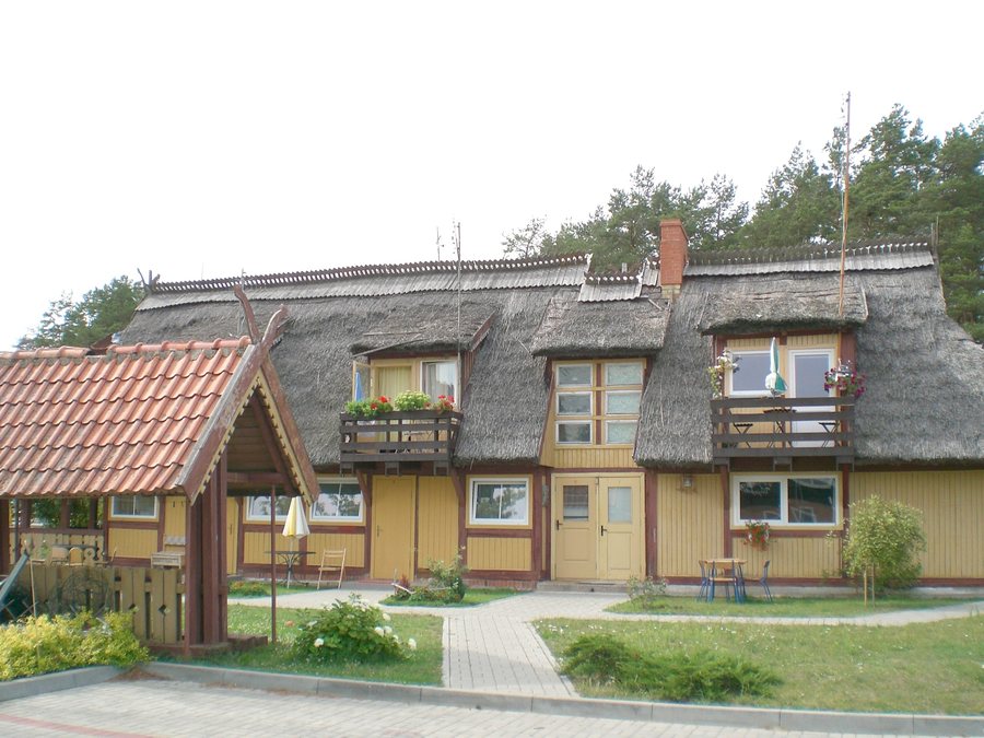
Accommodation in Pervalka
In Pervalka, local history and distinctive landscape features come together. The lighthouse and nearby Skirpstas Dune offer concrete points of reference for understanding the culture, landscape, and a route through the Curonian Spit.
Key facts about Pervalka
The Pervalka Lighthouse stands on a small artificial island and is 14 meters tall. It was rebuilt in 1948 and 1960; the Neringa Tourism Board describes it as the oldest lighthouse in Neringa. Pervalka was founded in 1844 by residents of the buried village of Naujieji Nagliai. Near the village is the 51.5-meter-high Skirpstas Dune, with views of the Curonian Lagoon and the Baltic Sea. A monument to Martynas Liudvikas Rėza stands near the dune.
What does the lighthouse tell us about Pervalka?
The lighthouse offers a concrete historical point of reference: its height and location on a small artificial island shape how the structure is described. The two years it was rebuilt, 1948 and 1960, provide two clear dates. The Neringa Tourism Board also identifies it as the oldest lighthouse in Neringa.
The story of the village’s founding provides a separate historical reference. Pervalka was established in 1844 by residents of the buried village of Naujieji Nagliai. This makes it possible to consider the history of the village and the later years when the lighthouse was rebuilt as distinct historical points of reference. Those interested in the destination’s development will find both a founding date and a history of the lighthouse here.
What landscape and culture are described near the village?
Skirpstas Dune is near Pervalka, not in the village. At 51.5 meters high, it offers views of two bodies of water: the Curonian Lagoon and the Baltic Sea. This view connects the description of the landscape with a clear point of orientation between the lagoon and the sea. The monument to Martynas Liudvikas Rėza stands near the dune and adds a cultural point of interest to this landscape.
When planning, it helps to distinguish between the locations: the lighthouse is associated with Pervalka, the dune is near the village, and the monument is near the dune. This makes it possible to understand the historical and landscape features described without treating them as if they were all in one place.
What role does Pervalka play in route planning?
The Curonian Loop passes through Pervalka and runs across the Curonian Spit. The route through the Curonian Spit is described as family-friendly. This makes Pervalka relevant in the context of a route that extends beyond the village itself. Family-friendliness is a description of this route and can help guide you as you weigh destinations and shared interests.
The information is relevant to different interests: the lighthouse and the story of the village’s founding offer historical points of reference, while the nearby dune provides views of the lagoon and the Baltic Sea. The Curonian Loop places the village in a broader route context. Which of these perspectives matters most to your travel plans depends on whether you want to focus on local history, landscape, or the course of a route.
Discover more destinations: Vileikiai, Žemaičių Naumiesčio Seniūnija, Šilutė, Vydmantai, Gargždai, Dreverna, Švėkšna, Neringa.
FAQ
What is special about the Pervalka Lighthouse?
It stands on a small artificial island, is 14 meters tall, and was rebuilt in 1948 and 1960. The Neringa Tourism Board describes it as the oldest lighthouse in Neringa.
What landscape is described near Pervalka?
The 51.5-meter-high Skirpstas Dune is near Pervalka and offers views of the Curonian Lagoon and the Baltic Sea. A monument to Martynas Liudvikas Rėza stands near the dune.
How should the Curonian Loop be understood?
The Curonian Loop passes through Pervalka and runs across the Curonian Spit. The route through the Curonian Spit is described as family-friendly.
For the broader travel overview: Klaipėda County.

