
Kurkliai: Hotels and Accommodation
Accommodation in Kurkliai
Kalnas Majokas is located in the wider regional surroundings of Kurkliai. This connection is of interest to travellers who wish to view the town in its broader landscape context.
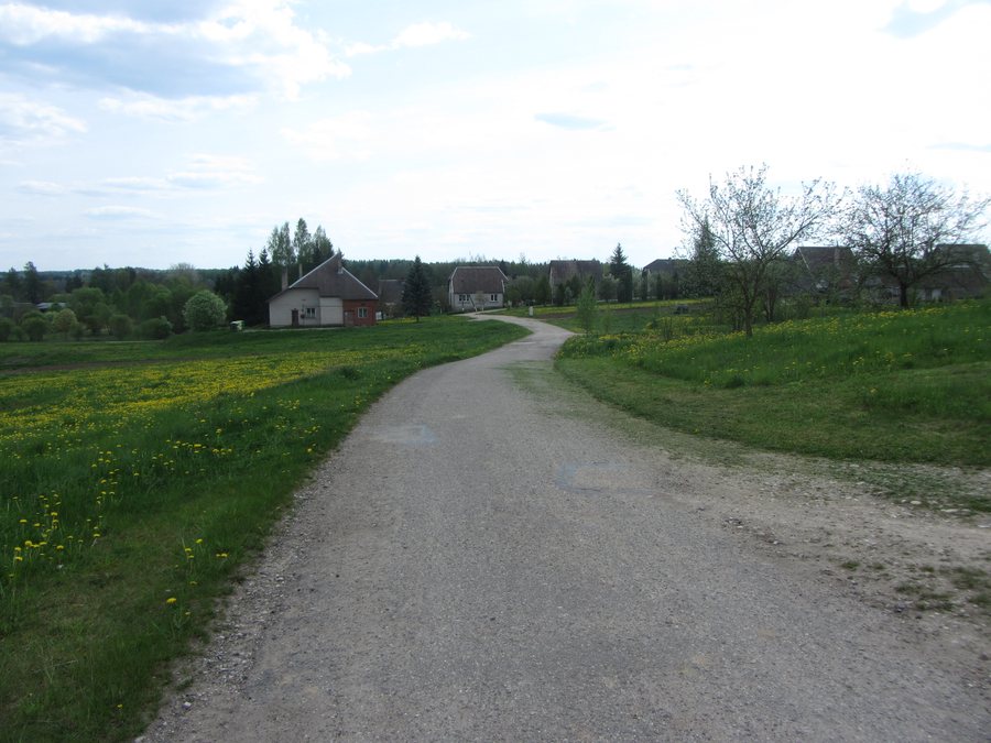
When planning an overnight stay in Kurkliai, the desire to book a hotel may play a role.
Geographical Location
Kurkliai is a town in Anykščiai District Municipality, 3 km north of the A6 between Kaunas, Zarasai and Daugavpils, and 14 km south of Anykščiai.
Culture and Landscape
One of the town's defining buildings is the wooden Church of St George in Kurkliai, built in the forms of folk classicism in 1874. It is therefore a specific cultural feature of the town.
Kurkliai lies on the left bank of the Virinta River in a valley where the tributary Kurklė flows into the Virinta.
There is also a wooden synagogue in Kurkliai dating from 1932.
East of Kurkliai lie the Buteikiai Hillfort and the Kurkliai burial site.
The spruce of Kurklių šilas is designated as a natural monument.
Surroundings
The Puntukas Stone lies 7 km north of Kurkliai.
Anykščiai Regional Park is mentioned in the geographical description of the town.
For orientation within the same broader area: Svėdasai, Rubikiai, Skiemonys, Andrioniškis.
Once you have finished selecting the town, you can continue to the accommodation in Kurkliai.
For the overview of the higher-level destination: Anykščiai District Municipality.

.jpg)