
Svėdasai: Hiking and Local History
Accommodation in Svėdasai
Five hiking routes in the surrounding area, the cemetery in Svėdasai, and Lake Svėdasas north of the town offer different starting points for planning your trip. You can decide whether you would mainly like to hike, learn about local history, or explore the landscape.
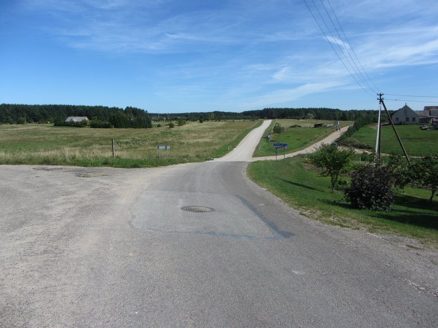
Quick facts about Svėdasai
- The “Svėdasų bendruomenė” initiative created and described five hiking routes through the area around Svėdasai.
- One of the routes described follows the Svėdasai–Sliepšiškis–Svėdasai route.
- The municipality recommends a circular hike starting and ending at the centrally located Bendruomenės namai.
- The cemetery was established in the 17th century, and its gates were built in the 19th century.
- Lake Svėdasas lies north of Svėdasai, and the River Svėdasa rises from it.
- An entry dated August 15, 1503, mentions the Svėdasų dvaras estate, which belonged to the Radvila family.
- You can park your car in the town center and set off from there.
Which hiking routes suit your plans?
The five hiking routes described give you an overview of the paths in the surrounding area. For more specific route guidance, one route is identified by the sequence of places Svėdasai–Sliepšiškis–Svėdasai. The municipality also recommends a circular hike that starts and ends at the centrally located Bendruomenės namai. These details help answer different questions: one gives a sequence of places, while the other identifies a starting and ending point.
When comparing routes, you can therefore first consider whether a specifically named route or a central starting point is more important to you. Before setting out, check that the routes are available and confirm the current trail conditions locally.
How can the historical details be understood?
The cemetery in Svėdasai was established in the 17th century; its gates date from the 19th century. The two dates therefore refer to different parts of the cemetery: its establishment and the construction of its gates. Another historical reference is the Svėdasų dvaras estate, which belonged to the Radvila family. An entry dated August 15, 1503, mentions the estate. The date refers to the entry in which it is mentioned.
For an overview of local history, it is helpful to keep these details distinct: the cemetery and its gates are described by their dates of origin, while the estate is associated with a dated mention. This provides a chronological context without combining the three details into a single event.
Where are the lake and river?
Lake Svėdasas lies north of Svėdasai; the River Svėdasa rises from it. The similar-sounding names can be distinguished as follows: Svėdasas is the lake, and Svėdasa is the river. This gives visitors interested in the landscape a specific geographical reference point, as well as the connection between the two bodies of water.
Discover more destinations: Skiemonys, Kurkliai, Rubikiai, Andrioniškis.
FAQ
Which hiking route is specifically named?
One of the routes described follows Svėdasai–Sliepšiškis–Svėdasai. Before setting out, check its availability and the current trail conditions.
Where does the recommended circular hike start?
It starts and ends at the centrally located Bendruomenės namai.
Which centuries do the cemetery and its gates date from?
The cemetery was established in the 17th century, and the gates were built in the 19th century.
What lies north of Svėdasai?
Lake Svėdasas lies north of the town. The River Svėdasa rises from it.
For the broader travel overview: Anykščiai District Municipality.

