
Discover Švenčionys District Municipality
Accommodation in Švenčionys District Municipality
Lakes, forests, and cultural themes shape Švenčionys District. Information about a forest educational trail, a cycling route, and special places can help you decide which side of the region suits your trip.
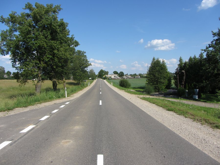 File:Adutiškio sen., Lithuania - panoramio (1).jpg
Photo: VietovesLt via Wikimedia Commons, CC BY 3.0
File:Adutiškio sen., Lithuania - panoramio (1).jpg
Photo: VietovesLt via Wikimedia Commons, CC BY 3.0
Quick facts about Švenčionys District Municipality
There are 289 lakes in Švenčionys District, covering a total area of 5,632.1 ha. The Žeimena River also shapes the area: it flows through it from north to south, has no dams, and is one of Lithuania’s most important salmon spawning grounds.
The Labanoras visitor centre can help you plan trips through the park; park maps and souvenirs are sold there. An exhibition presents the natural and cultural values of the Labanoras Forest and offers activities for the whole family.
What nature-related themes shape the region?
The Labanoras Forest educational trail offers an engaging way to explore the themes of forests and waters. It is 3 km long and takes about 1.5 hours. Along the way, you’ll learn about the ecosystems of bogs and lakes, as well as plants and animals included on Lithuania’s Red List. The trail also provides information about nearby ancient burial mounds. Its content thus combines natural history with a historical theme, without assuming that visitors have the same interests.
Another notable place is the Lino Verdenė spring. It lies at the bottom of the slope of a pine-covered hill, right beside Lake Sėtikis. The spring also has cultural significance: local people consider it special and sacred. It is said that Rasos celebrations—that is, Midsummer celebrations—as well as gatherings marking changes in the natural cycles and the equinoxes have been held there for a long time.
Protected areas are also part of the region’s character: part of Asveja Regional Park lies in Švenčionys District. Kačėniškės Hill, also known as Pasijų kalnas, is also in the district and belongs to Sirvėta Regional Park.
What routes and trips can you plan?
The Daugava-Nemunas cycling route is a specific option for a bike ride. It is 9 km long and connects Šventa with Kačėniškės Hill. The forest educational trail, in turn, is a designated way to explore bog and lake ecosystems, species on Lithuania’s Red List, and burial mounds. The two options therefore differ in both theme and stated distance.
If you’d like to learn more about Kačėniškės Hill, its history offers an additional perspective. It is dated to the first millennium AD and the beginning of the second millennium. At that time, it was an important defensive fortification belonging to the land of Nalšia. This historical context adds to its present-day geographical setting: the hill is in Švenčionys District and belongs to Sirvėta Regional Park.
Where can you find more information about places and regions?
You can also explore Labanoras, Švenčionėliai, and Kaltanėnai as places within the district. For comparison with other pages, see also Trakai District Municipality, Švenčionių rajono savivaldybė, Ukmergės rajono savivaldybė, Trakų rajono savivaldybė, and Vilnius District Municipality.
FAQ
How long is the Labanoras Forest educational trail?
The educational trail is 3 km long and takes about 1.5 hours.
Which places does the Daugava-Nemunas cycling route connect?
The 9 km route connects Šventa with Kačėniškės Hill.
What will you learn in the chest-painting workshop?
A workshop is offered at the Traditional Crafts Centre in Reškutėnai. Participants learn about the development, purpose, and symbolic significance of dowry chests, as well as their decoration and painting.
For the broader travel overview: Vilnius District.

.jpg)