
Kowalskie Błota: Nature Reserve and Way of St. James
Accommodation in Kowalskie Błota
A nature reserve at the sources of the Stążka lies near Kowalskie Błota; the village is also mentioned on a section of the Way of St. James. These two points of interest offer different reference points for planning your trip and choosing accommodation.
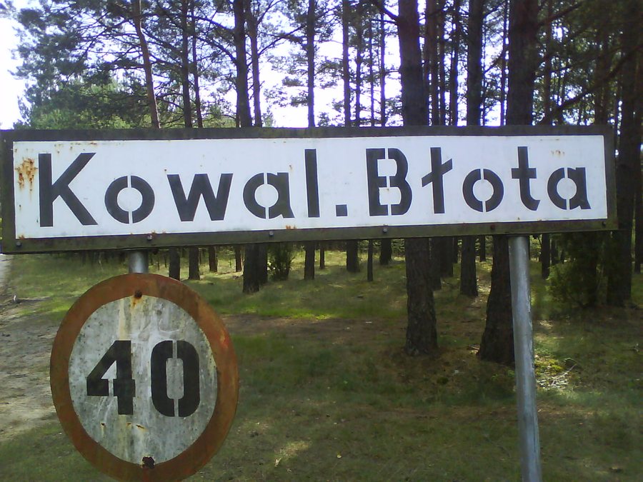
Kowalskie Błota facts
The Źródła Rzeki Stążki area, which is partly designated as a nature reserve, covers 250.02 hectares and lies near Kowalskie Błota. It is entirely within the municipality of Cekcyn and the Tuchola Forest District. The reserve protects a section of the valley at the sources of the Stążka River. The 26.7-kilometer Śliwice–Tuchola section of the Way of St. James passes through Lińsk, Zaroślak, Kowalskie Błota and Gołąbek; Kowalskie Błota is marked at kilometer 16.5.
What characterizes the natural area near Kowalskie Błota?
The area includes forests, flowing waters, agricultural land and wasteland. The combination of these land types describes an environment that cannot be reduced to forest alone. The focus of protection is a section of the valley at the sources of the Stążka. Reasons for protection include scientific, educational, scenic and tourist aspects, as well as exceptional floristic values. The educational component points to the area’s value for learning; together with the other reasons, it shows that various perspectives inform the rationale for protection. The area was established on December 31, 1993, by a regulation of the Minister of Environmental Protection, Natural Resources and Forestry. For choosing a destination, the nature reserve therefore offers a specific connection to nature and landscape near the village.
How should the Way of St. James section be understood?
The Way of St. James offers a different reference point from the nearby nature reserve. The Śliwice–Tuchola section is a route through the municipality of Cekcyn: over 26.7 kilometers, it passes through Lińsk and Zaroślak to Kowalskie Błota and continues to Gołąbek. Kowalskie Błota is listed at kilometer 16.5 in the route description. Farther along, within the municipality, the route follows an asphalt road for about 2.6 kilometers to the junction with the road to Tuchola; at the intersection, continue to the right. The figures describe different things: 26.7 kilometers is the length of the section, 16.5 kilometers is the marker for Kowalskie Błota, and about 2.6 kilometers is the following stretch of road.
What role do nature and the route play when looking for accommodation?
When choosing a hotel, you can first consider which aspect matters more for your trip: the nearby nature reserve, with its valley and source-related features, or the Way of St. James section in the surrounding municipality. The information offers different reference points for nature interests and route planning. This lets you tailor your search to your travel plans, rather than treating the nature reserve and the route as the same point of reference.
Discover more destinations: Tuchola, Cekcyn, Legbad, Cierplewo, Byslaw, Klonowo, Śliwice, Lubiewo.
FAQ
How large is the Źródła Rzeki Stążki nature reserve?
It covers 250.02 hectares and is located near Kowalskie Błota.
What information describes the Way of St. James section?
The 26.7-kilometer Śliwice–Tuchola section is listed as a route through the municipality of Cekcyn. Kowalskie Błota is listed at kilometer 16.5 in the route description. Farther along, within the municipality, the route follows an asphalt road for about 2.6 kilometers to the junction with the road to Tuchola; at the intersection, continue to the right.
When was the nature reserve established?
It was established on December 31, 1993, by a regulation of the Minister of Environmental Protection, Natural Resources and Forestry.
Go to the main travel overview: Tuchola.

