
Legbad: Forests, Hiking Trail and the Great Brda Canal
Accommodation in Legbad
Legbad lies among forests; two routes and the branching system of the Great Brda Canal give the place several specific points of interest. This lets you take the landscape, hiking, cycling and a historical reference point into account when planning your trip.
Legbad at a glance
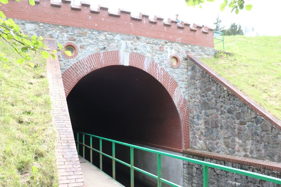
Legbad lies in the northern part of Tuchola Municipality, among forests. The green hiking trail no. 2053 is 15.8 km long and starts at the Legbąd PKS bus stop. Check the local signage before setting out. The regional cycling route BY1 7001s passes through Legbad on its way through Tuchola Forest; here, too, check the current markings on site. Attractions include the system of the Great Brda Canal, with its many branches. Construction of the present-day Church of the Sacred Heart in Legbad began in 1972.
What defines the landscape and character of the place?
The forest setting and canal system represent different aspects of Legbad. The village lies among forests in the northern part of Tuchola Municipality, and the branching system of the Great Brda Canal is one of its attractions. When choosing your trip, you can consider two interests separately: is the landscape or a specific named attraction more important to you? The many canal branches give the latter a tangible feature, while the forest setting provides the landscape context.
Which route suits your plans?
For the green hiking trail, its 15.8 km length and starting point at the Legbąd PKS bus stop are useful planning details. You can compare the distance with your own trip plans; check the local signage before setting out. The regional cycling route BY1 7001s passes through Legbad on its way through Tuchola Forest. Along the route, Legbad lies between Woziwoda and the Fojutowo Aqueduct; here, too, you should check the current markings on site. The distinction is useful for comparison: the hiking trail has a stated length and starting point, while the cycling route can be understood in terms of its regional course. This lets you first decide whether a hiking trail or cycling is a better fit for your trip, and use the relevant route information as a starting point for further planning.
What historical connection is there?
The Church of the Sacred Heart adds a historical point of reference to the landscape and routes. Construction of the present-day church in Legbad began in 1972. If you choose a place not only for a planned activity but also for its cultural and historical points of interest, this specific construction date is an additional factor to consider. It gives you a point of reference for the present-day church and broadens your view of Legbad to include a topic beyond landscape and outdoor activities.
Discover more destinations: Lubiewo, Klonowo, Śliwice, Kowalskie Błota, Cekcyn, Cierplewo, Byslaw, Tuchola.
FAQ
How long is the green hiking trail no. 2053?
It is 15.8 km long and starts at the Legbąd PKS bus stop. Check the local signage before setting out.
Which cycling route passes through Legbad?
The regional cycling route BY1 7001s passes through Legbad on its way through Tuchola Forest. Check the current markings on site.
When did construction of the Church of the Sacred Heart begin?
Construction of the present-day Church of the Sacred Heart in Legbad began in 1972.
Go to the main travel overview: Tuchola.

