
Discover Uhryń: Nature Trails and Geology
Accommodation in Uhryń
Two nature trails with different focuses are at the heart of Uhryń: a geological trail along the Uhryń Stream and the longer Nature Trail of Count Adam Stadnicki. One focuses on rocks and geological connections; the other describes a route of around 22 kilometres through several named landscape features. This distinction can help you compare the trails by subject and scale.
Uhryń at a glance
- The geological nature trail is 2 km long, has 11 stops and takes about 1.5 hours to walk.
- Allow about 10–15 minutes to read the information at the stops.
- The Nature Trail of Count Adam Stadnicki runs from Łabowa through Uhryń to Hala Łabowskie, then on to Hala Pisana and Makowica, and into the Życzanów Valley near Rytro.
- The geological nature trail is marked with the traditional white-and-green square symbol for nature trails.
How do the two nature trails differ?
At 2 km and eleven stops, the geological nature trail is a clearly defined route; the estimated walking time of about 1.5 hours refers to walking. Allow about 10–15 minutes to read the information at the stops. Keep these time estimates separate when planning your visit.
The Nature Trail of Count Adam Stadnicki, by contrast, is about 22 km long. Its route runs from Łabowa through Uhryń to Hala Łabowskie, then on to Hala Pisana and Makowica, before continuing into the Życzanów Valley near Rytro. So the difference is not just the length: the geological trail focuses on one subject through a series of stops, while the longer route takes in several named landscape features.
The route details provide a general guide; conditions on the ground may vary. Markings may also change. Check current trail conditions and markings before setting out.
What does the geological nature trail along the Uhryń Stream reveal?
The geological nature trail follows a deeply incised, winding stretch of the lower Uhryń Stream. Along almost the entire trail, the water has exposed outcrops of folded rock. The rock profiles date from the Early Eocene and belong to the Sącz Subunit of the Magura Formation. The stream itself thus serves as a reference point for the geological stops.
The Uhryń Stream Valley offers a particularly clear view of the Paleogene rocks of the Sącz Zone. The nature trail also covers formations of the Magura Nappe, which shapes the geological structure of the Beskid Sądecki. This makes it possible to connect the individual streamside outcrops with a broader geological context. The trail also aims to introduce visitors to both living and non-living nature: its focus on rocks is part of a broader nature theme.
The white-and-green square is the traditional symbol for nature trails. If you plan to follow it on the ground, check the markings before setting out; they may change over time.
What natural landscape complements a visit?
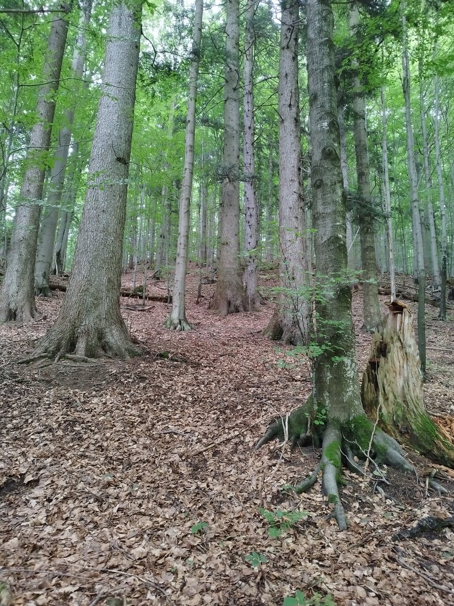
The Uhryń Nature Reserve lies close to the destination. It protects beech and fir stands about 230 years old, characteristic of the former Carpathian primeval forest. The Nature Trail of Count Adam Stadnicki passes through this protected area. The longer route therefore combines a named trail through the reserve with a landscape whose forest history extends beyond the age of any individual stand.
The two nature themes are clearly distinct: the geological nature trail focuses on folded rocks, the stream and rock formations; the nature reserve is home to protected beech and fir stands and their connection to the former Carpathian primeval forest. If you are choosing Uhryń based on specific interests in nature, this comparison offers a factual guide without treating the trails as the same.
Discover more destinations: Zawadka, Rytro, Rożnów, Krynica-Zdrój, Żeleźnikowa Wielka, Kąclowa, Muszyna and Labowa.
FAQ
How long does the geological nature trail take?
The 2 km route with 11 stops is listed as taking about 1.5 hours to walk. Allow about 10–15 minutes to read the information at the stops.
How is the geological nature trail marked?
It is marked with the traditional white-and-green square symbol for nature trails. As markings can change, check them before setting out.
Which landscape features does the nature trail connect?
The route, about 22 km long, runs from Łabowa through Uhryń to Hala Łabowskie, then on to Hala Pisana and Makowica, and into the Życzanów Valley near Rytro.
For the broader travel overview: Nowy Sącz.

