
Kamieniec Wrocławski: Waterway and Village History
Accommodation in Kamieniec Wrocławski
The Janowicki Canal and the historic village layout give Kamieniec Wrocławski two distinct sides. If you are looking for accommodation here, you can consider whether you would rather get to know the place through its waterway route or its history.
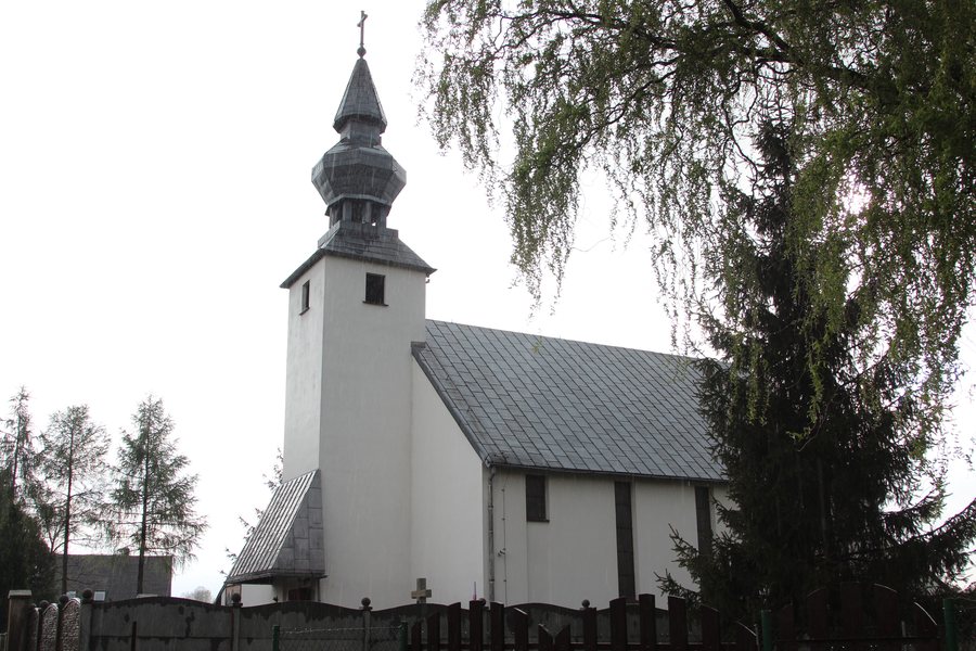 Church of Divine Mercy in Kamieniec Wrocławski 2014
Photo: Pnapora via Wikimedia Commons, CC BY-SA 3.0
Kamieniec Wrocławski at a glance
- The southern waterway route from Wrocław enters the 4 km-long Janowicki Canal, passes under the road bridge to the island in Kamieniec Wrocławski, and continues to Janowice Lock.
- The multi-street village settlement pattern developed around a central village green and has been preserved in the northwestern part of the village.
- A level B heritage protection zone covers the central part of the village, including buildings from the former manor farm and part of the former village green.
- Kamieniec was first mentioned in historical records on 28 June 1203. The road bridge over the Kanał Janowicki is a masonry-and-steel structure dating from around 1913.
What is the route of the waterway?
The southern waterway route from Wrocław enters the four-kilometre-long Janowicki Canal. It passes under the road bridge to the island in Kamieniec Wrocławski and continues to Janowice Lock. The four kilometres refer to the length of the canal, not the entire route. This makes it possible to understand the waterway aspect of the place through a specific sequence: canal, bridge to the island and lock. If waterways are important to your travel plans, this offers a distinct way to approach choosing your destination.
What defines the historic village layout?
The multi-street village settlement pattern developed around a central village green. It has been preserved in the northwestern part of Kamieniec Wrocławski. The central part of the village lies within a level B heritage protection zone. This includes buildings from the former manor farm and part of the former village green.
The historical dates also refer to different aspects: Kamieniec was first mentioned on 28 June 1203; the road bridge over the Kanał Janowicki dates from around 1913. Its construction combines masonry and steel. The settlement pattern, former village green and a specific structure thus offer different ways to explore the village’s history.
What is known about Kamieniecki Park?
Paths have been laid out in Kamieniecki Park, and benches and play equipment for children have also been installed. This adds another local feature alongside the waterway and village history: the park, with its paths, seating and play equipment. These features appeal to different interests, without making the park the only possible focus of a stay.
How should you approach your accommodation search?
Then check the location of the specific accommodation against your travel plans.
Discover more destinations: Wrocław, Kiełczów, Wojnowice, Brzezia Łąka, Długołęka, Smolec, Bielany Wrocławskie and Kobierzyce.
FAQ
Do the four kilometres refer to the entire waterway route?
No. This figure describes the length of the Janowicki Canal; the route continues to Janowice Lock.
When does the road bridge over the Kanał Janowicki date from?
The masonry-and-steel structure dates from around 1913.
What park features are mentioned for Kamieniecki Park?
Paths have been laid out in the park, and benches and play equipment for children have been installed.
For the broader travel overview: Wroclaw.

