
Zasieki: Historical Traces
Accommodation in Zasieki
Zasieki offers several historical points of interest: a Jewish cemetery and visible remains of former roads and bridges. Further bridge history belongs to the wider region and can be distinguished from these local traces.
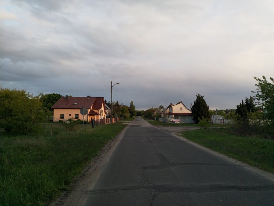
Key facts about Zasieki
- The Jewish cemetery in Zasieki, formerly Forst-Berge, was established between 1894 and 1898.
- Zasieki once belonged to the Forst-Berge district.
- Fragments of destroyed bridges and remains of former roads can be seen in Zasieki.
- In the wider region, the Lange Brücke (Long Bridge) was built in 1921 to a design by Rudolf Kühn.
- In the wider region, the Lange Brücke and a pedestrian bridge were blown up in 1945.
Which historical traces shape Zasieki?
Two distinct historical points of reference meet in Zasieki. The Jewish cemetery was established between 1894 and 1898. The name Forst-Berge is connected with the town’s earlier history: Zasieki once belonged to the Forst-Berge district. This identifies both the history of the cemetery and the town’s former affiliation.
In addition, fragments of destroyed bridges and remains of former roads can be seen. These structural remnants differ from a single, precisely dated site: they point to former roads and bridges, while the cemetery is a distinct, specific historical point of reference. This distinction is useful for orientation, since not all information about bridges refers to Zasieki itself; further details relate to the wider region.
What bridge history belongs to the wider region?
The Lange Brücke was built in 1921 to a design by Rudolf Kühn. It connected the town with its new district of Berge. Thus, both a specific construction year and an architect, as well as the bridge’s function at the time, are documented.
A pedestrian bridge crossed the river about 300 metres south of the Lange Brücke. The distance is approximate: it describes the pedestrian bridge’s location in relation to the Lange Brücke, not its distance from Zasieki. Both bridges were blown up in 1945. The two structures can therefore be distinguished by different features: for the Lange Brücke, its design, construction year and connection to the town are important; for the pedestrian bridge, its type and approximate location relative to the Lange Brücke are key.
The wider region also includes surviving architectural elements of the bridges. Concrete lampposts and a fountain have also survived; the fountain once stood in the centre of a square that no longer exists. These details add further structural traces to the bridge history. The fountain’s former location is also described, while the concrete lampposts stand as surviving objects in their own right.
How can the historical dates be put into context?
The dates relate to different events: the cemetery was established between 1894 and 1898, the Lange Brücke was built in 1921, and both bridges were blown up in 1945. This sequence highlights the chronological difference between the cemetery, the construction of the bridges and their destruction. The dates therefore do not tell the story of a single event, but of several historical layers.
For travel planning, this distinction offers a clear way to explore the themes of the town and its wider surroundings: in Zasieki, the cemetery and the visible remains of former roads and bridges take centre stage. Information about the Lange Brücke, the pedestrian bridge, the surviving bridge elements, lampposts and fountain broadens the view to regional history. Those interested in cultural history can consider these different points of reference separately without conflating their respective locations and dates.
Discover more destinations: Tuplice, Brody.
FAQ
When was the Jewish cemetery established?
The Jewish cemetery in Zasieki, formerly Forst-Berge, was established between 1894 and 1898.
What historical traces can be seen in Zasieki?
Fragments of destroyed bridges and remains of former roads can be seen in Zasieki. The Jewish cemetery is also part of the town’s history.
What happened to the two bridges in 1945?
The Lange Brücke and the pedestrian bridge were blown up in 1945. The pedestrian bridge crossed the river about 300 metres south of the Lange Brücke.
To the main travel overview: Żary County.

