
Kąty Węgierskie: Chapel, History and Cycling Route
Accommodation in Kąty Węgierskie
Kąty Węgierskie brings together a brick chapel, traces of archaeological settlements and a 5.6 km cycling route. The history of the village includes both more recent building history and much older evidence of settlement.
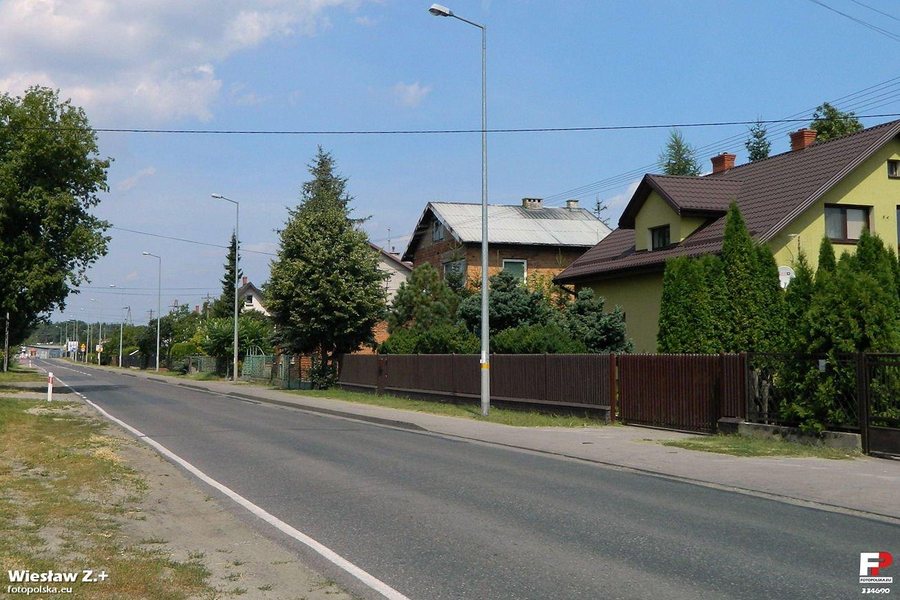 File:Kąty Węgierskie - fotopolska.eu (334690).jpg
Photo: Wiesław Z. via Wikimedia Commons, CC BY-SA 3.0
Kąty Węgierskie: Key Facts
- Chapel: a two-storey brick structure with a semicircular niche and a statue of the Virgin Mary; the current chapel was built in the early 1990s.
- Archaeological traces: one dates to antiquity, and two to the Early Bronze Age.
- Cycling route: cycle path along Strużańska Street, via Józefów to Kąty Węgierskie; length 5.6 km.
What cultural heritage shapes the village?
A two-storey brick chapel stands at 57 Strużańska Street/Kościelna in Kąty Węgierskie. Its semicircular niche is closed off with coloured panes and contains a statue of the Virgin Mary. The current chapel was built in the early 1990s. Its building history is therefore considerably more recent than the archaeological traces of settlement in the village. If you are interested in religious architecture, the defining details here are the combination of brick construction, the shape of the niche and the statue of the Virgin Mary, as well as the date it was built.
A brick cross stands on a plot on Kościelna Street, opposite the GOK. Before the Second World War, a wooden cross stood here. The residents of Kąty Węgierskie prayed there on their way to a burial; the deceased were then taken to the church in Nieporęt and afterwards to the cemetery. The chapel and cross offer different insights: the chapel is notable for its form and date of construction, while the cross reflects earlier religious practices associated with funerals.
What historical traces can be found here?
Three archaeological traces of settlement are recorded in Kąty Węgierskie: one from antiquity and two from the Early Bronze Age. These different periods add evidence of older settlement to the more recent building history. The chapel and cross, on the one hand, and the archaeological traces, on the other, can thus be understood as different historical connections to the village.
The grave of an unknown soldier, possibly dating from 1939, is located in the forest. It is point 33 on the black Szlak Polski Walczącej trail. An account of the village’s history places another episode about 115 years before it was written: infantry under the command of Lieutenant Stefan Pogonowski spent a night at a road junction near a sharp bend, waiting for orders.
What is the cycling route like?
The cycling route follows a cycle path along Strużańska Street and goes via Józefów to Kąty Węgierskie; its stated length is 5.6 km. It offers a different connection to the village than the black Szlak Polski Walczącej trail, where the soldier’s grave is marked as point 33: this is a cycling route to Kąty Węgierskie, while the grave is a single point on a named trail. For your planning, these should therefore be treated as two different route references. If you plan to visit particular places, check access, and check the current route conditions before setting out on a bike ride.
Discover more destinations: Jadwisin, Zegrze Południowe, Zegrze, Wieliszew, Chotomów, Izabelin, Dębe, Serock.
FAQ
Which periods do the settlement traces date from?
One trace dates to antiquity, and two others to the Early Bronze Age.
What makes the chapel distinctive?
It is a two-storey brick structure with a semicircular niche closed off by coloured panes and a statue of the Virgin Mary. The current chapel was built in the early 1990s.
How long is the cycling route to Kąty Węgierskie?
Its stated length is 5.6 km. The cycle path runs along Strużańska Street and goes via Józefów to Kąty Węgierskie.
Go to the overview of the wider travel area: Legionowski.

