
Pomlewo – Discover Hiking and Cycling Routes
Accommodation in Pomlewo
Pomlewo is crossed by a green-marked hiking trail and several cycling routes; a green Nordic walking route also starts and ends here. This makes it easy to identify the area by its different types of routes.
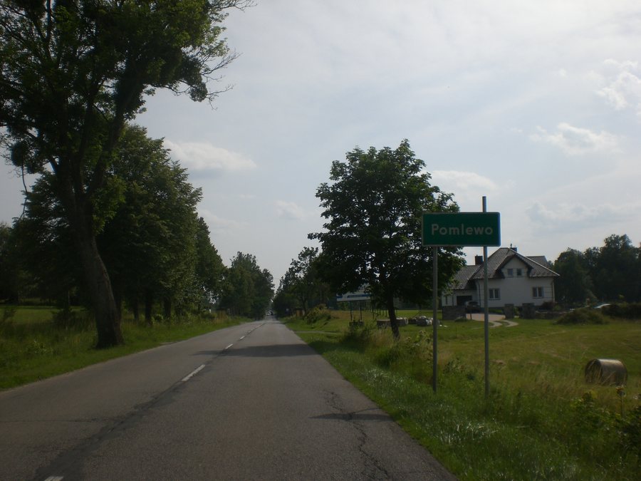
Pomlewo at a glance
- The green-marked Szlak Skarszewski is a hiking trail from Sopot Kamienny Potok to Skarszewy. It is 81.6 km long and passes through the Pomlewo area.
- The green Nordic walking route around Jezioro Przywidzkie starts and ends at Pensjonat „Kozi Gród“ in Pomlewo and runs entirely through the Przywidzki Obszar Chronionego Krajobrazu.
- The blue-marked Szlak Kaszubsko-Żuławski is a cycling route through Pomlewo.
- The black-marked Szlak Doliny Reknicy is also a cycling route through Pomlewo.
- On the Szlak Rowerowy Wzgórz Przywidzza, Pomlewo is 4.5 km after Przywidz.
Which routes pass through Pomlewo?
At 81.6 kilometres, the Szlak Skarszewski is a long hiking route between two named places: Sopot Kamienny Potok and Skarszewy. This length refers to the entire trail; Pomlewo lies along its route. The figure is therefore useful for understanding the trail as a whole, not as a local section. The green Nordic walking route offers a different kind of outing: it loops around Jezioro Przywidzkie and starts and ends at Pensjonat „Kozi Gród“ in Pomlewo. The loop runs entirely through the Przywidzki Obszar Chronionego Krajobrazu. Route conditions can change, so check the current trail conditions before setting out.
What distinguishes the cycling routes?
The route names and markings help distinguish the cycling routes. Both the blue-marked Szlak Kaszubsko-Żuławski and the black-marked Szlak Doliny Reknicy pass through Pomlewo. For the Szlak Rowerowy Wzgórz Przywidzza, a sequence is given instead: Pomlewo lies 4.5 kilometres after Przywidz along this route. These 4.5 kilometres refer to the cycling route, not to the road distance. For a first overview, then, two named cycling routes pass through Pomlewo, while the information about the Wzgórz route places the town in relation to Przywidz.
What landscapes are associated with the routes?
The landscape information adds another way to distinguish the routes. The Nordic walking loop runs entirely within the Przywidzki Obszar Chronionego Krajobrazu and circles Jezioro Przywidzkie. The description of the Wzgórz Przywidzza cycling route mentions strongly undulating areas within the Gmina Przywidz; the route description also passes through Pomlewo. These are different landscape settings: a lake loop in a protected landscape area and a cycling route whose description includes hilly terrain in the municipality. When comparing routes, you can therefore consider both their format and the landscape setting described for each.
Discover more destinations: Juszkowo, Elganowo, Żukczyn, Ostrowite, Straszyn, Cedry Małe, Kłodawa, Kleszczewo.
FAQ
How long is the Szlak Skarszewski?
The green-marked hiking trail is 81.6 km long. It runs from Sopot Kamienny Potok to Skarszewy and passes through the Pomlewo area.
Where does the Nordic walking route around Jezioro Przywidzkie start?
It starts and ends at Pensjonat „Kozi Gród“ in Pomlewo, circles the lake and runs entirely through the Przywidzki Obszar Chronionego Krajobrazu.
What does the 4.5 km figure mean for the Wzgórz Przywidzza cycling route?
It places Pomlewo in the route sequence: the town lies 4.5 km after Przywidz along the cycling route. This is a distance along the route, not a road distance.
Go to the main travel overview: Gdańsk.

