
Waglikowice: Nature Trail and Lakes
Accommodation in Waglikowice
Waglikowice lies in Wdzydzki Park Krajobrazowy (Wdzydzki Landscape Park). A nature trail, lakes with varied shorelines, and an information point with hiking and cycling maps give nature lovers practical details for planning their trip.
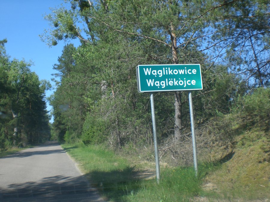
Waglikowice: key facts
- Waglikowice lies in Wdzydzki Landscape Park.
- The “Szlakiem pięciu jezior” nature trail is 6 km long and has five stops.
- The trail has a shelter and benches; it starts at a map next to the school.
- The Centrum Usług Turystycznych provides maps showing cycling and hiking trails.
What characterizes nature around Waglikowice?
The landscape park provides the natural setting for the area. Visitors who want to make nature the focus of their trip can follow the “Szlakiem pięciu jezior” nature trail: its name itself refers to lakes, and its five stops give the 6 km route a clear structure. Its length can be factored into your day’s plans. A shelter and benches along the trail provide places to take a break.
The trail begins at a map next to the school in Waglikowice and passes through areas around the landscape park. This makes it possible to identify the starting point by reference to a specific place. Visitors who like to plan their outings with maps can also get maps of hiking and cycling routes from the Centrum Usług Turystycznych. The Centrum is located at ul. Stolema 3, 83-406 Waglikowice.
What can you experience on the nature trail?
The stops and points of interest described include both bodies of water and opportunities to observe nature. The first stop is Kramsko Małe, which is considered a clean lake. For visitors choosing lakes based on their landscape, there are two contrasting descriptions: gently accessible shores at Kramsko Małe, and wooded slopes with reeds along the water at Kramsko Duże.
The nature trail also leads to the Dębrznica. A beaver dam can be seen nearby, upstream from the bridge. In the forest is a bird sanctuary that is part of the trail: it is specially set aside and fenced, and planted with nectar- and fruit-bearing shrubs and trees. Lake shores, a river, and the bird sanctuary thus offer distinct natural attractions alongside the trail’s five stops.
What guidance is available for outings?
The map next to the school marks the start of the nature trail. For further guidance, the Centrum Usług Turystycznych provides maps showing cycling and hiking routes. Visitors who are considering both modes of travel when planning their trip can ask there for suitable maps; the available maps explicitly cover cycling and hiking routes. Together with the stated length of 6 km, the nature trail offers a practical point of reference, while the Centrum’s maps provide a broader overview of cycling and hiking routes.
Other local pages to help you find your bearings: Borsk, Wdzydze Tucholskie, Wiele, Olpuch, Szenajda, Dębogóry, Schodno and Sycowa Huta.
FAQ
How long is the “Szlakiem pięciu jezior” nature trail?
The nature trail in Waglikowice is 6 km long and has five stops.
Where does the nature trail begin?
It begins at the map next to the school in Waglikowice.
How do the shores of Kramsko Małe and Kramsko Duże differ?
Kramsko Małe, the trail’s first stop, is considered a clean lake with gently accessible shores. Kramsko Duże has steep, wooded shores, with reeds along the water’s edge.
For the main travel overview: Berent.

