
Discover Ligota Woźnicka
Accommodation in Ligota Woźnicka
A founder’s cross with a bell tower, a local bell legend, and a 108-kilometer cycling route give Ligota Woźnicka a range of historical and tourism connections. When planning your trip, it is worth distinguishing the specific features of the village from the wider route.
Quick facts about Ligota Woźnicka
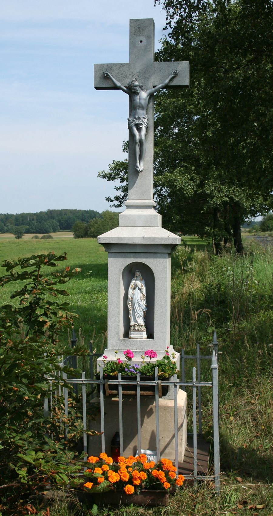
- In the village center stands a cross with a bell tower, donated in 1777 by Count Anton von Gaschin.
- The Liswarciański Cycling Route is 108 kilometers long and passes through Ligota Woźnicka.
- The former school is located at 54 K. Miarki Street.
What does the founder’s cross tell us?
The cross stands in the village center and dates back to a donation by Count Anton von Gaschin in 1777. The bell tower is part of this distinctive local landmark.
According to legend, the bell could ward off storms and natural disasters. It is said to have lost this ability after an official wanted it rung at his daughter’s funeral.
For those interested in culture and local history, there are two closely connected topics here: an 18th-century cross and the story surrounding its bell. The cross can be understood through its donor and date, while the story is a local legend.
What role does the cycling route play in trip planning?
The 108-kilometer Liswarciański Cycling Route runs from Woźniki through Ligota Woźnicka and Lubsza to Wąsosz Górny. Further along, it passes places including Psary, Babienica, Boronów, Lisów, Krzepice, and Danków. These places show the scale of the route: it is not just a local point of reference in Ligota Woźnicka, but passes through a broader succession of places.
The stated length refers to the cycling route as a whole. This helps distinguish the route from the village’s more specific landmarks: the cross stands in the village center, while the route covers 108 kilometers. These offer two different perspectives on Ligota Woźnicka: as a place with a specific historical landmark, and as a stop on a longer cycling route.
If you include the route in your trip plans, it helps to distinguish its total length from the section that is relevant to your own plans. The places mentioned give an idea of the route across its full extent; they do not represent a single stage. This makes it possible to understand the cycling route as a wider travel connection without equating it with the village’s historical landmarks.
What other historical local landmarks are there?
Another specific landmark is the former school at 54 K. Miarki Street. Together with the cross, it offers a picture of different aspects of local history: the donated cross with its bell tower and traditional legend, and a building whose former function is clear from its name.
These details operate at different scales. The cross and former school are each tied to a specific location in Ligota Woźnicka; the cycling route places the village along a longer journey. If you are looking for accommodation, these distinctions can help you clarify the purpose of your trip: are you mainly interested in local cultural history, or would you like to see Ligota Woźnicka in the context of a cycling route?
FAQ
Where is the founder’s cross located?
The cross with the bell tower stands in the center of Ligota Woźnicka.
What legend is associated with the bell?
According to local tradition, it warded off storms and natural disasters. After an official wanted it rung at his daughter’s funeral, it is said to have lost this ability.
How long is the Liswarciański Cycling Route?
The cycling route is 108 kilometers long and runs from Woźniki through Ligota Woźnicka and Lubsza to Wąsosz Górny.
Where is the former school located?
It is located at 54 K. Miarki Street in Ligota Woźnicka.
For the broader travel overview: Woźniki.

