
Ciągowice
Accommodation in Ciągowice
Ciągowice combines historic landmarks with walking and cycling routes. Visitors who choose the town for a trip will find traces of a medieval trade route as well as marked trails and buildings from later centuries.
Ciągowice at a glance
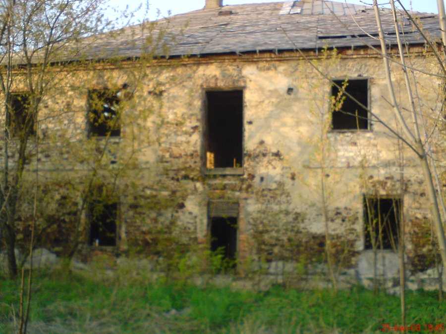
The parish of Saint Bartholomew the Apostle was already in existence in 1325. In the Middle Ages, a trade route between Kraków and Silesia ran through Ciągowice; the green-marked Szlak Tysiąclecia hiking trail follows its historic route here. For cycling, there are the blue T1 route, 5.0 km long, and the red T2 route, 12 km long. Visible historic traces include a manor house with surviving farm buildings and an associated park, as well as a chapel in the market square.
What historic traces can you discover in Ciągowice?
The town’s history is reflected in various buildings and memorial sites. The parish of Saint Bartholomew the Apostle was already in existence in 1325. The manor house is another feature of the townscape: its surviving farm buildings and associated park can still be seen.
In the lower part of the market square, north of the church and beside a well, stands a brick chapel dating from the first half of the 19th century. Its hipped roof is supported by four columns. Inside the chapel is a statue of Saint John of Nepomuk. It dates from the 18th century or from around the turn of the 18th and 19th centuries.
A cemetery with old tombstones belonging to the Poleski family lies on the northeastern slope. The family formerly owned Rokitno Szlacheckie. The cemetery adds a connection to the town’s former owners to its history.
What walking and cycling routes are there?
In Ciągowice, the green-marked Szlak Tysiąclecia hiking trail follows the historic route of the former trade route. In the Middle Ages, this route led from Kraków to Silesia. Travelers interested in the town’s historical development can include the connection between the former trade route and today’s hiking trail in their plans, while bearing in mind that they are not routes from the same period.
Two cycling routes of different lengths are described. The blue T1 cycling route is 5.0 km long and ends in the center of Ciągowice. The red T2 cycling route passes through the town and is 12 km long. If comparing routes by length, you can choose between a 5.0 km route ending in the center and a 12 km route through Ciągowice.
What characterizes the area around the town?
The forests east and north of Ciągowice contain numerous clay pits and mounds left by former open-pit mines. These landforms are part of the history of the area’s former mining activity. They differ from the historic buildings in the town and offer further insight into the traces of human use of the surrounding area.
More town pages to help plan your trip: Podleśna, Zdów, Kroczyce, Zawiercie, Piaseczno, Podzamcze, Witów and Zawada Pilicka.
FAQ
How long are the cycling routes in Ciągowice?
The blue T1 cycling route is 5.0 km long and ends in the center. The red T2 cycling route passes through Ciągowice and is 12 km long.
Where is the chapel located?
It stands beside a well in the lower part of the market square, north of the church. The brick chapel dates from the first half of the 19th century.
Which historic route does the Szlak Tysiąclecia follow?
In Ciągowice, the green-marked hiking trail follows the historic route of the medieval trade route that connected Kraków with Silesia.
For the main travel overview: Zawiercie.

