
Łazy: Hotels and accommodations
Accommodation in Łazy
The Gmina Łazy is located in the central-western part of the Kraków-Częstochowa Upland, in Zawiercie County, and is locally presented as a gateway to the Jura. The municipality lies within or on the edge of the Eagles' Nests Landscape Park and its buffer zone. The municipality has cycling and hiking trails as well as climbing areas within the Eagles' Nests Landscape Park. This classification is suitable for a trip focused on the Jura.
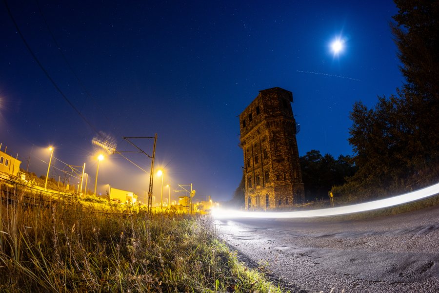
You can book a hotel for your stay in Łazy.
Nature
The local Jura landscape includes white limestone rock outcrops, including the Niegowonickie Rocks on Kromołowiec Hill.
Transport
A railway line and two voivodeship roads run through the area of the Gmina Łazy. They connect cities in Silesia and Zagłębie with central Poland.
Łazy has a railway station on ul. Grunwaldzka.
Travel surroundings
The wider travel context around the Gmina Łazy includes Ogrodzieniec Castle, climbing areas, the Błędowska Desert, the Pogoria Reservoirs and the castle in Siewierz.
Culture and history
Ogrodzieniec - Zamek, Siewierz - Zamek and Ryczow - Ruiny are located in the area surrounding Łazy.
The wider regional surroundings of Łazy also include Morsko - Ruiny zamku, Straszykowa, Góra Zborów and Berkowa.

