
Kamesznica – Manor Park, Geology and Cycling Routes
Accommodation in Kamesznica
Kamesznica offers several points of interest for a trip: a historic manor and park complex, religious sites, a geological quarry, and designated cycling and hiking trails. When planning your visit, you can decide whether to focus on culture, geology or outdoor activities.
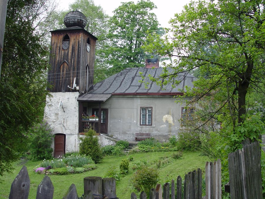
Kamesznica at a glance
The manor and park complex was established between 1830 and 1833 at the initiative of its owners at the time, Teresa and Marceli Potocki. Its grounds include the “Park Dworski w Kamesznicy” educational trail, whose information boards cover natural history and historical topics. The geological quarry allows visitors to observe different lithological types of flysch rocks and various sedimentary structures in a relatively small area. Two designated cycling routes are described as being 22.9 and 23.5 kilometres long, respectively.
Which cultural sites define Kamesznica?
The Chapel of Our Lady of Mount Carmel at Grabka was built in the 19th century and serves as a cemetery chapel. Services are also held there. Services are also celebrated at the Chapel of the Blessed Virgin Mary, Queen of the World, in Kamesznica Górna. The parish church in Kamesznica was consecrated in 1996. These sites differ in their function and history: the chapel at Grabka is also a cemetery chapel, while the parish church’s consecration has a specific date.
What do the manor park and quarry reveal?
At the geological quarry, the focus is on flysch rocks and sedimentary structures. The different lithological types make it possible to compare various kinds of rock; the sedimentary structures offer further insight into the material’s composition. According to the description, these features can be observed in a relatively small area. This makes the quarry a specific destination for travellers interested in geology, without requiring a long list of different sites.
Which cycling and hiking routes can you compare?
One designated cycling route starts in Milówka, passes through Szare, Pochodzita and Kamesznica Górna, and returns to Milówka. It is 22.9 kilometres long and has an elevation gain of 300 metres. The second designated route runs from Kamesznica through Złatna, Wędzlówka, Barania Góra, Magórka Radziechowska and Złotnica, before returning to Kamesznica. It is listed as 23.5 kilometres long, with an elevation gain of 700 metres.
The routes differ in length by just 0.6 kilometres, while the difference in elevation gain is 400 metres. So, if you compare cycling routes using these two measures, the elevation profiles differ clearly. Bacówka w Kamesznica is on the popular yellow hiking trail from Kamesznica to Barania Góra. Cycling routes and a named hiking trail therefore offer different starting points for planning a trip.
What information can help you find your way around?
Visitors interested in the Regional Memorial Chamber in Kamesznica are asked to contact it in advance at 664 888 163. The “Pod Jodłą” Forest Education Chamber is listed in the State Forests’ tourism and recreation directory under Kamesznica Złatna. When identifying these destinations, note the different place names: Kamesznica, Kamesznica Górna and Kamesznica Złatna are each part of the names in use.
For comparison with other destinations, you can also visit the pages for Zwardoń, Jeleśnia, Mutne, Koszarawa, Gilowice, Wieprz, Korbielow and Cisiec.
FAQ
When was the manor and park complex established?
It was established between 1830 and 1833 at the initiative of its owners at the time, Teresa and Marceli Potocki.
How long are the two designated cycling routes?
The route through Szare, Pochodzita and Kamesznica Górna is 22.9 kilometres long. The route through Złatna, Wędzlówka, Barania Góra, Magórka Radziechowska and Złotnica is 23.5 kilometres long.
How can visitors go to the Regional Memorial Chamber?
Visitors are asked to contact it at 664 888 163 before their visit.
Where is the yellow hiking trail?
Bacówka w Kamesznica is on the popular yellow hiking trail from Kamesznica to Barania Góra.
Go to the main travel overview: Żywiec.

