
Discover Ropienka
Accommodation in Ropienka
You can discover Ropienka through the history of oil extraction, a 19th-century burial chapel, and a cycling route. These topics offer different starting points for planning your trip: a historical timeline, a building listed in the heritage register, and a specific route through the village.
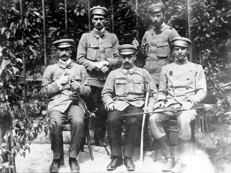 File:Związek Strzelecki Ropienka 1914.jpg
Photo: unknown-anonymous via Wikimedia Commons, Public domain
File:Związek Strzelecki Ropienka 1914.jpg
Photo: unknown-anonymous via Wikimedia Commons, Public domain
Ropienka at a glance
- The first boreholes at the oil mine were drilled in 1862; the 1880s are considered the beginning of its operation as an oil-producing enterprise.
- The mining cross stands at the site of a former hand-dug oil well.
- The Wierzbicki family burial chapel was built in 1893 and is listed in the heritage register of the Subcarpathian Voivodeship.
- On the return leg, the cycling route follows county road 2293R to the village park by St. Barbara's Church.
What stories do the oil mine and mining cross tell?
The dates associated with the oil mine mark two different stages: the first drilling in Ropienka began in 1862, while the 1880s are considered the beginning of operations as an oil-producing enterprise. This distinction helps put the village's history in context: the earlier date marks the start of drilling, and the later period marks the beginning of the enterprise's operations.
The mining cross points to oil extraction not through a date but through its location. It stands at the site of a former hand-dug oil well.
What can you learn about the Wierzbicki family burial chapel?
The Wierzbicki family burial chapel is in Ropienka and was built in 1893. Its entry in the heritage register of the Subcarpathian Voivodeship provides additional context for its construction date. The chapel therefore offers a different historical focus from the oil mine and the mining cross: here, attention is on a building, its date, and its status in the register.
To choose which local topics interest you, you can compare the two main themes: the history of oil extraction on the one hand and the architectural history of the burial chapel on the other. The year 1893 provides a specific date for the chapel; for the oil mine, the relevant dates are the drilling in 1862 and the 1880s, considered the start of operations.
What guidance does the cycling route offer?
On the return leg, the cycling route follows county road 2293R to the village park by St. Barbara's Church in Ropienka. Near the primary school, it turns right. This gives you specific points to help plan the route: a named turn, the county road, and the destination at the village park. As the route may change, check the local route before setting out.
The cycling route offers a different kind of guidance alongside the historical topics: it names a turn and a destination, while the information about the oil mine and chapel primarily provides historical context.
Discover more destinations: Krościenko, Teleśnica Oszwarowa, Bukowiec, Procisne, Smolnik, Muczne, Arłamów and Lutowiska.
FAQ
Which dates are associated with Ropienka's oil history?
The first boreholes at the oil mine were drilled in 1862. The 1880s are considered the beginning of its operation as an oil-producing enterprise.
What is distinctive about the mining cross?
It stands at the site of a former hand-dug oil well, linking it to the local history of oil extraction.
What is known about the Wierzbicki family burial chapel?
It is in Ropienka, was built in 1893, and is listed in the heritage register of the Subcarpathian Voivodeship.
Where does the cycling route lead on the return leg?
It follows county road 2293R to the village park by St. Barbara's Church. Near the primary school, it turns right; check the local route before setting out.
For the broader travel overview: Bieszczady.

