
Tarnobrzeg: Sulphur History and Lake
Accommodation in Tarnobrzeg
Tarnobrzeg combines traces of the sulphur industry with a lake that emerged from a former open-pit mine. This gives you a choice when planning your trip: activities by the water, routes through the city centre and insights into the city’s history. You can explore these different themes individually or focus on the ones that interest you most.
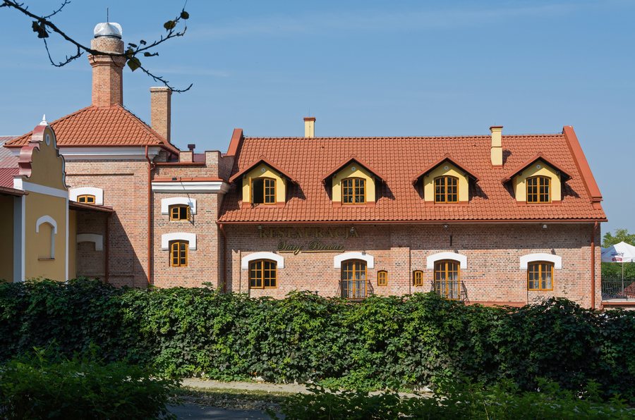 File:2014 Tarnobrzeg, Browar Tarnowskich 09.JPG
Photo: Jacek Halicki via Wikimedia Commons, CC BY-SA 3.0 pl
File:2014 Tarnobrzeg, Browar Tarnowskich 09.JPG
Photo: Jacek Halicki via Wikimedia Commons, CC BY-SA 3.0 pl
Tarnobrzeg at a glance
The Tarnobrzeg Lake was created when water from the Vistula was channelled into an open-pit mining area of a former sulphur mine. The reservoir covers 460 hectares and is up to 42 metres deep. Its shores include sandy beaches with a combined length of more than 3 kilometres, as well as a gently sloping swimming area.
The city trails also reflect Tarnobrzeg’s history: the historical and natural heritage trail “Śladami górnictwa i przemysłu siarkowego” consists of three colour-coded routes. It leads to places connected with the development of the city and the sulphur industry, as well as to important historical monuments.
What does Tarnobrzeg Lake offer?
The reservoir’s size and the length of its beaches make the lake a distinctive option among the possible destinations in Tarnobrzeg. If you want to spend time by the water, you’ll find sandy beaches and a gently sloping swimming area here.
A 10.5-kilometre road runs around the lake and is suitable for jogging, Nordic walking, inline skating and cycling. This route is an option for exercise alongside the lake. It is distinct from the 3-kilometre cycling and walking path that connects the centre of Tarnobrzeg with the lake. The distances therefore refer to two different routes and can help you choose an outing that suits you.
Which routes explore the city and its sulphur history?
For a circuit through the city centre, consider the yellow “Miejska” route of the Sulphur Trail. It is 8.9 kilometres long and starts at the information board in front of the town hall at 32 Kościuszki Street. This designated starting point gives you a clear reference for the route, which is marked as a circuit.
The trail’s wider historical scope extends beyond individual stops: its three colour-coded routes lead to places connected with the development of Tarnobrzeg and the sulphur industry, as well as to important historical monuments. You can choose to focus your exploration on the city’s history and industrial heritage, while the yellow “Miejska” route offers a specifically named circuit through the centre.
What museums and collections are there?
The Museum of the Polish Sulphur Industry is housed in a 19th-century granary. The historic building type and the museum’s subject provide two specific points of interest for a cultural visit to Tarnobrzeg.
Tarnowski Castle in Dzików, a district of Tarnobrzeg, houses the Historical Museum of the City of Tarnobrzeg. The Dzików Collection includes paintings and was assembled between 1804 and 1834. The cultural sites mentioned therefore differ both in subject and in their historical associations: one museum is dedicated to the Polish sulphur industry, while the other is housed in Tarnowski Castle and associated with the Dzików Collection.
For comparisons with other destinations, you can also explore the pages for Gorzyce, Skopanie, Baranów Sandomierski, Nowa Dęba, Zalesie Gorzyckie and Grębów.
FAQ
How long is the yellow “Miejska” route?
The circuit through the city centre is 8.9 kilometres long. It starts at the information board in front of the town hall at 32 Kościuszki Street.
What activities are possible on the road around the lake?
The 10.5-kilometre road is suitable for jogging, Nordic walking, inline skating and cycling.
Where is the Historical Museum of the City of Tarnobrzeg?
It is housed in Tarnowski Castle in Dzików, a district of Tarnobrzeg.
For the broader travel overview: Tarnobrzeski.

