
Mierki: History and Orientation Along Road 603
Accommodation in Mierki
Mierki can be located along paved Road 603; a war cemetery lies in the town center, and a 19th-century Protestant cemetery adds to the historical picture. These points give you a concrete starting point for choosing your destination.
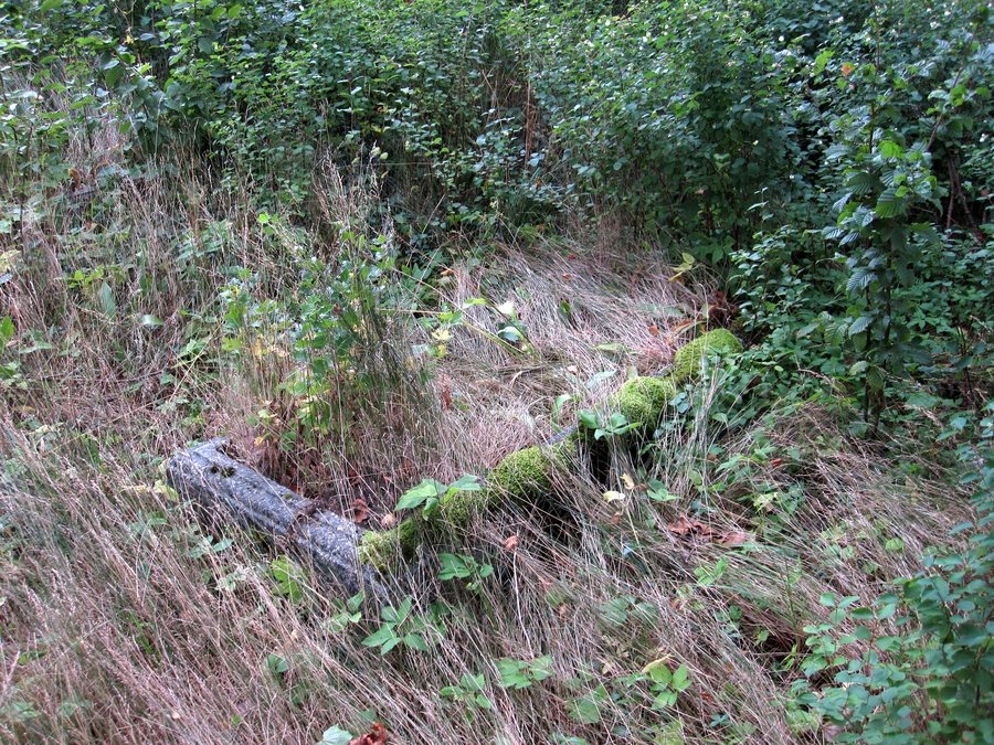
Mierki at a glance
- Paved Road 603 runs through Mierki.
- In the center, near the school, 396 soldiers rest in the war cemetery: 183 German and 213 Russian.
- A 19th-century Protestant cemetery is located nearby.
- Szlagowski Pond lies near Kołatek, directly beside Road 603.
What orientation does Road 603 provide?
Paved Road 603 runs through Mierki to numerous holiday centers in the scenic eastern part of Olsztynek municipality. It also runs from Olsztynek via Mierki to Szczytno. The Olsztynek–Mierki–Szczytno route, alongside the location of the holiday centers in the eastern part of the municipality, provides a second point of reference. If you are comparing Mierki as a possible place to stay overnight, you can take this road connection into account when choosing a location.
Where is Szlagowski Pond located?
Szlagowski Pond lies near Kołatek, directly beside Road 603, which runs from Olsztynek via Mierki to Szczytno. When planning your location, you can therefore distinguish between Mierki, which lies along the road, and the pond near Kołatek.
Which historical sites shape Mierki?
Mierki’s war cemetery is in the town center, near the school. A total of 396 soldiers rest there: 183 German and 213 Russian. The exact breakdown gives the cemetery a specific profile. A 19th-century Protestant cemetery is also located nearby. One cemetery is characterized by the number and national groups of the soldiers, the other by its Protestant identity and its dating to the 19th century. For those interested in culture, these are two distinct points of reference for the town’s history. If you are planning a visit, please check visiting arrangements in advance.
Where does Mierki appear in a route sequence?
One route runs from Kanigowo via Podgórzyn, Nidzica, Działdowo, Uzdowo, Dąbrówno, Frygnowo, Stębark, Mielno and Olsztynek to Mierki, and continues on to Kurki, Jedwabno and Piduń. In this sequence, Mierki comes after Olsztynek and before Kurki. This is a different way of locating the town than Road 603: here, the focus is on the sequence of named places, while the road reference describes a route.
Discover more destinations: Kręsk, Adamowo, Lipowo Kurkowskie, Barczewo, Olsztyn, Majdy, Łajsy, Rasząg.
FAQ
Where is Mierki’s war cemetery?
It is in the town center near the school. A total of 396 soldiers rest there: 183 German and 213 Russian.
Which road runs through Mierki?
Paved Road 603 runs through the town and leads from Olsztynek via Mierki to Szczytno.
Where is Szlagowski Pond?
It lies near Kołatek, directly beside Road 603.
For the overview of the wider area: Olsztyn.

