
Discover Pianki
Accommodation in Pianki
Pianki brings together nature and history: six small-leaved lime trees are designated as natural monuments, and a former 19th-century Evangelical cemetery includes a First World War military cemetery. Two historic routes also passed through Pianki.
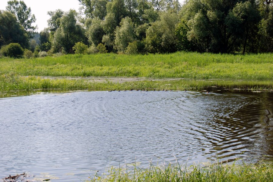 File:Pianki -kaczki na starorzeczu "Krzywa Noga" - panoramio.jpg
Photo: jangol2 via Wikimedia Commons, CC BY-SA 3.0
Pianki at a glance
- Six small-leaved lime trees are designated as natural monuments.
- The former Evangelical cemetery dates from the 19th century and includes a First World War military cemetery.
- Two historic routes passed through Pianki: the black “Szlakiem Jezior Rynnowych” (Rift Lakes Route), 22.0 km long, and the yellow “Szlak Rodzinny” (Family Route), 19.4 km long.
What historical traces shape Pianki?
The cemetery brings together two historical periods. The cemetery itself dates from the 19th century; the military cemetery within it is from the First World War. Its designation as a former Evangelical cemetery also gives the site historical context. For travellers who consider cultural history when choosing a destination, this combination offers a concrete point of reference: it connects the cemetery’s history with remembrance of those killed in the First World War.
What do the small-leaved lime trees offer in terms of nature?
The six small-leaved lime trees are designated as natural monuments. The specific tree species and number give Pianki’s natural heritage a clear point of reference. Unlike the cemetery, the focus here is a natural feature. This makes it possible to understand Pianki both through its cultural and historical traces and through its designated trees. If you give natural features more weight than history when planning your trip, the lime trees offer a distinct point of interest.
How do the historic routes differ?
The black “Szlakiem Jezior Rynnowych” route covered 22.0 km from Orzysz via Kolonia Grądy Podmiejskie, Pianki, Ublik, Cierzpięty, Mataszczyki, Tyrkło and Wężewo to Okartowo. The yellow “Szlak Rodzinny” route ran for 19.4 km from Orzysz via Grądy, Odoje, Sumki and Pianki to Mikosze. Both historic routes passed through Pianki, but their intermediate stops and endpoints differed. The black route was 2.6 km longer than the yellow one. This comparison helps distinguish the two former routes; the distances alone do not describe a current tour. If you are planning a cycling trip, check the current route and signage beforehand.
Discover more destinations: Szczechy Wielkie, Pisz, Niedzwiedzi Rog, Krzyże, Okartowo, Kaliszki, Iznota, Ogródek.
FAQ
What does the cemetery in Pianki include?
The former Evangelical cemetery dates from the 19th century and includes a First World War military cemetery.
Which natural features are designated in Pianki?
Six small-leaved lime trees are designated as natural monuments.
Which historic routes passed through Pianki?
The black “Szlakiem Jezior Rynnowych” and the yellow “Szlak Rodzinny” passed through Pianki. The listed routes were 22.0 and 19.4 km long, respectively.
What should you bear in mind before cycling today?
Treat the two routes as historical route information and check the current route and signage before planning.
Go to the main travel overview: Piski.

