
Discover Białogard: city walls, the Parsęta and trails
Accommodation in Białogard
Białogard offers three distinct starting points for planning a trip: medieval buildings, the Parsęta with its kayak station, and trails along the embankment of a decommissioned narrow-gauge railway. If you are looking for a hotel, you can first consider whether culture, the river or a longer hike will shape your days. The facts below show which highlights come together in Białogard.
Białogard at a glance
- The church “Kościół pw. Narodzenia Najświętszej Marii Panny” was built at the beginning of the 14th century, while the town walls were being constructed.
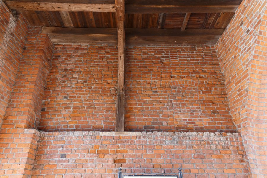
- Brama Wysoka, also called Połczyńska, was built together with the town walls.
- The Parsęta flows through Białogard; many enthusiasts of this rare fish come every year during the sea trout fishing season.
- The Leśnica and the Parsęta meet near ul. Szpitalna. The kayak station is also located there, with a floating pontoon and campsites with electricity and water connections.
- An unmarked hiking trail, described as easy to walk, is 20 km long and runs along the embankment of a decommissioned narrow-gauge railway.
Which historical traces can you compare?
The church “Kościół pw. Narodzenia Najświętszej Marii Panny” was built at the beginning of the 14th century, during the construction of the town walls. Brama Wysoka was also built at that time, together with the walls. The two buildings can therefore be assigned to the same early construction phase, but they served different purposes: the church is a religious landmark, while the town gate was part of the fortifications. If you are interested in the town’s history, you can consider these differences side by side as you explore. Połczyńska is another name for Brama Wysoka.
What makes the Parsęta interesting for trip planning?
The Parsęta is more than just a river in the townscape: during the sea trout fishing season, many enthusiasts of this rare fish come to Białogard every year. This seasonal information does not specify exact fishing dates; if you are planning a trip specifically for this, you should check the relevant dates in advance. Another connection with the river is the kayak station on ul. Szpitalna. It has a floating pontoon on the Parsęta, as well as campsites with electricity and water connections.
The Leśnica is another point of reference by the water: it joins the Parsęta within the town, near ul. Szpitalna. The river, the confluence and the kayak station are therefore specific points to consider in your plans, each with its own location details. This lets you decide whether you would rather tie your stay to the sea trout season or to the kayak station, without treating the two experiences as the same.
How do the hiking trail and road directions differ?
The 20 km hiking trail follows the embankment of a now-decommissioned narrow-gauge railway for its entire length. It starts on the site of the former locomotive shed, at the corner of ul. Drzymały and ul. Świdwińska. Both the description “easy to walk” and the note “unmarked” are relevant for planning: one indicates the difficulty, while the other makes clear that this is not a marked hiking trail. Its length helps you estimate the scale of the hike, but does not specify how long it takes to walk.
For road directions, provincial road 163 is relevant. It runs through Białogard north towards Kołobrzeg and southeast via Połczyn-Zdrój and Czaplinek towards Wałcz. This presents two different planning considerations: a specific 20 km hike along a former railway embankment, and road connections in different directions. Which matters for your trip depends on whether you plan to walk the trail or include Białogard in your road route.
How can you factor accommodation into your plans?
When looking for a hotel in Białogard, it helps to first decide what matters most to you: would you like to focus mainly on the buildings, make the Parsęta part of your trip, or take the 20 km trail into account?
Discover more destinations: Retowo, Karlino.
FAQ
Which buildings in Białogard date from the early 14th century?
The church “Kościół pw. Narodzenia Najświętszej Marii Panny” was built while the town walls were being constructed. Brama Wysoka, also called Połczyńska, was built together with the walls.
Where do the Parsęta and the Leśnica meet?
The confluence is within Białogard, near ul. Szpitalna.
How is the trail along the railway embankment described?
It is 20 km long, unmarked and described as easy to walk. The entire route follows the embankment of the decommissioned narrow-gauge railway.
For the overall travel overview: Białogard.

