
Białogard – Cycling Routes, Hikes and City History
Accommodation in Białogard
Białogard combines medieval fortifications with cycling and hiking trails, rivers and a diverse landscape. If you are looking for a hotel or other accommodation for your trip, you can first consider whether you mainly want to explore the city’s history, enjoy activities on the water or take excursions through the surrounding area.
Quick Facts About Białogard
Surviving traces of the town’s fortifications include the Brama Wysoka and shell towers. A cycling route connects Białogard and Karlino and is part of the Stary Kolejowy Szlak Rowerowy. Another cycle path runs from Białogard to Moczyłki: it is just under 2 km long, 2.5 m wide and has a bituminous surface. Hiking options include an unmarked route around Białogard and a 20 km trail along the embankment of a former narrow-gauge railway.
What Makes the Landscape Around Białogard Distinctive?
The natural landscape of Białogard Municipality includes river valleys, forest lakes, ponds, peat bogs, moraine hills, kames and woodlands. Two distinctive hills offer different views: Góra Kościernicka is an exposed moraine hill with panoramic views of Białogard, which lies in the valley. Góra Niwka is a kame hill above a marshy depression east of the town; from there, you can see Białogard and Góra Kościernicka.
The Parsęta gorge between Rzyszewo, Tychówko, Osówko and Wicewo is a deeply incised river valley with side valleys, pronounced differences in elevation and deciduous woodland. Rzyszewo is outside the area, in Tychowo Municipality. Another landscape landmark is the palace park in Czarnowęsy: it covers 23.38 ha and lies on the south bank of the Mogilnica.
Which Cycling and Hiking Routes Can You Plan?
The cycling route between Białogard and Karlino connects the two towns and is part of the Stary Kolejowy Szlak Rowerowy. The short cycle path to Moczyłki is described in more detail by its length, width and surface. Another cycling route explores the oldest traces of settlement in the Białogard region. It begins on Płowiecka Street, at the site of an early medieval fortified settlement originally located between the Parsęta and Leśnica rivers. Jezioro Rybackie lies along this route and offers opportunities for fishing and relaxation. A pile-dwelling settlement stood in the southern part of the lake more than 1,000 years ago.
The unmarked hiking trail around Białogard passes through Rościno, Lulewice, Żelimucha, Kościernica, Pomianowo, Dargikowo and Klępino Białogardzkie before returning to Białogard. It can be completed in one day. Another unmarked route follows the embankment of the former narrow-gauge railway: from Białogard, it runs through Kisielice, Łęczno, Nasutowo, Zagórze and Podwilcze to Rarwino and is 20 km long. When planning your day, you can distinguish between a loop specifically described as doable in one day and a route with a stated total distance.
What Do the Rivers and the City’s History Have to Offer?
The Parsęta, Radew, Pokrzywnica and Chotla rivers are suitable for kayaking. In Białogard, the kayak station on Szpitalna Street has a floating jetty on the Parsęta. There is also a unique hydroelectric power station in Rościno.
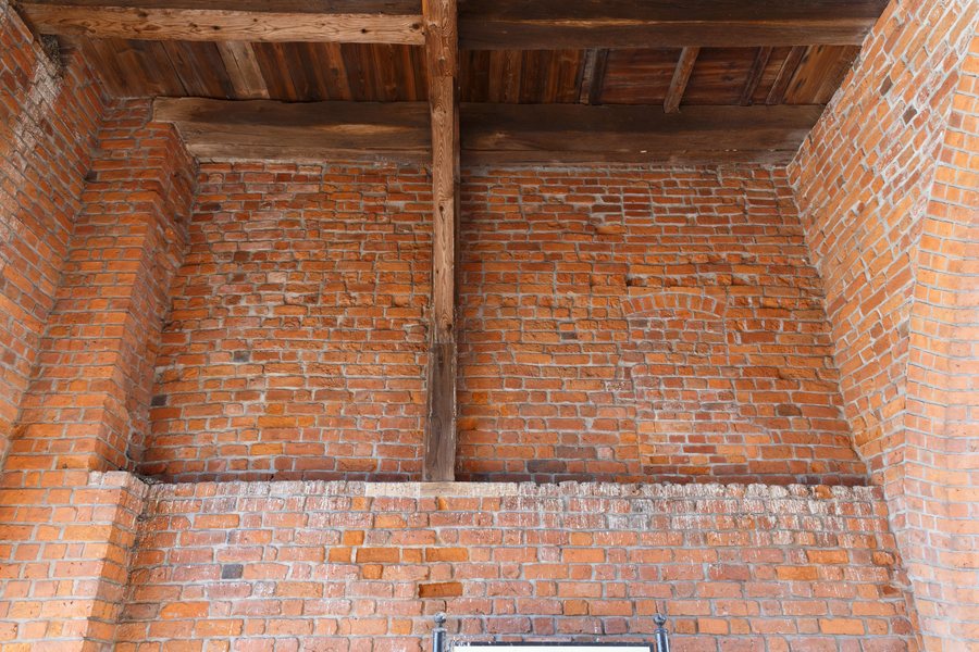
The surviving medieval town wall remains, including the Brama Wysoka and shell towers, illustrate defensive structures typical of a medium-sized Pomeranian town. The Brama Wysoka, also known as Połczyńska, was built together with the town walls at the beginning of the 14th century. The surviving sections of the wall can be accessed from Matejki Street.
If you would like to compare other town pages, you can also find Białogard, Karlino and Retowo, as well as Sławno, Świdwin, Labes, Pyrzyce and Stargard.
FAQ
Which cycling route connects Białogard and Karlino?
The cycling route between the two towns is part of the Stary Kolejowy Szlak Rowerowy.
How long is the hiking trail along the railway embankment?
The unmarked route from Białogard to Rarwino is 20 km long and passes through Kisielice, Łęczno, Nasutowo, Zagórze and Podwilcze.
Where can you access the surviving sections of the town wall?
They can be accessed from Matejki Street. The Brama Wysoka is also known as Połczyńska.
Which rivers are suitable for kayaking?
The Parsęta, Radew, Pokrzywnica and Chotla rivers are suitable for kayaking.
For the main travel overview: West Pomerania.

