
Kukinia: Cycling Routes and Village History
Accommodation in Kukinia
Two themes offer practical guidance for planning a trip to Kukinia: cycling routes that pass through the village and a rural settlement layout dating back to the 13th century. Several dated residential buildings add to the historical picture. This places Kukinia in the context of both route planning and cultural history.
Key facts about Kukinia
A yellow cycling route runs from Ustronie Morskie through Malechowo, Kukinka and Kukinia to Rusowo. The green cycling route is 23 kilometres long and runs through Ustronie, Kukinia and Rusowo, then through Gwizd and Wieniotowo. Kukinia was gifted to the Cistercians of Kołbacz in 1236. The rural settlement layout dates back to the 13th century.
Which cycling routes pass through Kukinia?
The yellow cycling route places Kukinia in a clear sequence of places: after Ustronie Morskie come Malechowo and Kukinka, followed by Kukinia and Rusowo. If you plan your cycling trip around the places mentioned, you can use this sequence as a guide when planning your route.
The green cycling route is 23 kilometres long. Its described sequence runs through Ustronie, Kukinia and Rusowo, then through Gwizd and Wieniotowo. There is rare half-timbered architecture along the route. The stated distance provides a concrete point of comparison when choosing a route by its total length; when planning, you can also consider the places mentioned and the half-timbered architecture as interests in their own right.
What historic traces can be found in the village?
Kukinia’s rural settlement layout dates back to the 13th century. The record notes that Kukinia was gifted to the Cistercians of Kołbacz in 1236. These two details provide an early historical timeframe for the village. Several residential buildings are also identified by their house number and construction period.
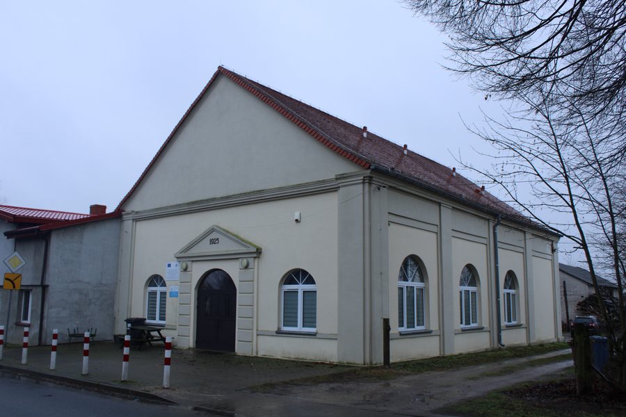
The former school building at Kukinia 19 dates from 1901 and is now a residential building. The house at Kukinia 25 dates from 1905. The house at Kukinia 3–3a is dated to the early 20th century. The houses at Kukinia 4 and 6, by contrast, date from the late 19th century. The houses at Kukinia 7, 29, 31 and 40 also date from the early 20th century. This makes it possible to distinguish different construction periods in the village’s appearance without grouping all the buildings into a single period.
At the southern edge of Kukinia, south of the road to Dygowo, lies a former Protestant cemetery dating from the early 20th century. Its location and historical context add another aspect of the village’s history to the information about its settlement layout and residential buildings.
What interests suit a stay in Kukinia?
There are two different route descriptions to help you choose a route; those interested in architectural history will find houses from the late 19th and early 20th centuries, as well as the much earlier history of the settlement. The half-timbered architecture along the green cycling route links an interest in cycling with an interest in architecture, without requiring a particular route or a shared itinerary.
You could also consider Sianozety as a separate travel destination.
FAQ
How long is the green cycling route?
The green cycling route is 23 kilometres long.
Which residential buildings have a stated construction period?
The buildings mentioned are the houses at Kukinia 3–3a, 4, 6, 7, 25, 29, 31 and 40, as well as the former school building at Kukinia 19, which is now a residential building.
What is known about Kukinia’s early history?
Kukinia was gifted to the Cistercians of Kołbacz in 1236; the rural settlement layout dates back to the 13th century.
For an overview of the wider area, see Ustronie Morskie.

