
Ion Roată: Nature, Orientation and Cultural Traces
Accommodation in Ion Roată
Ion Roată can be understood from three perspectives: its connection to nature, geographical orientation and historical traces. This approach becomes particularly clear at the designated protected area, whose connection to the municipality and total size provide a concrete frame of reference.
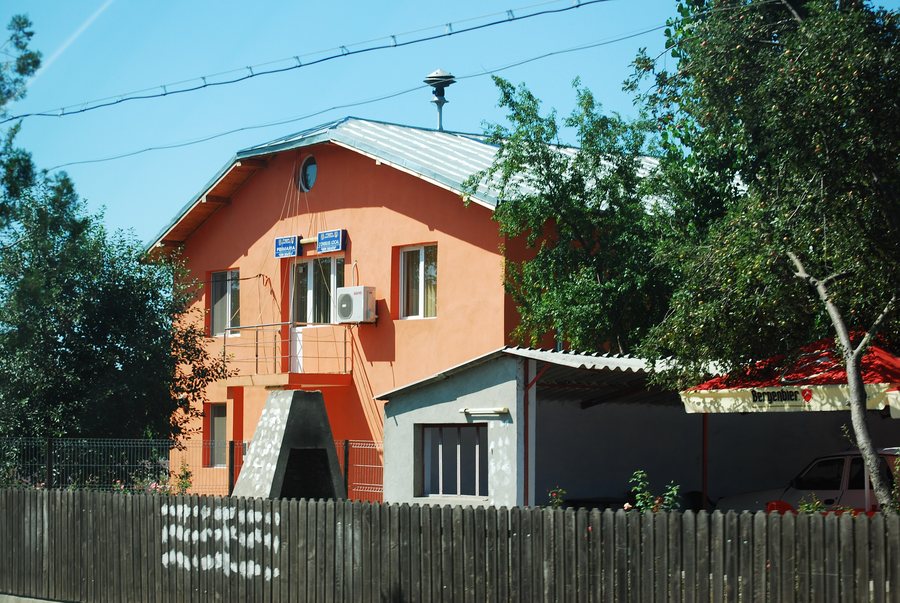
Nature
Part of the Natura 2000 Special Protection Area for birds “Coridorul Ialomiţei” (ROSPA0152) is located within the municipality of Ion Roată; the protected area covers 25,307.9 hectares. For orientation, the combination of specific municipal affiliation and large total area is helpful: it makes the difference between the local connection and the protected area as a whole visible without conflating the two levels.
Transport and Orientation
National road DN2A (E60) between Bucharest and Constanța crosses the municipality of Ion Roată from west to east. This information describes a west–east axis and also names the two cities between which the road runs. In addition, the Urziceni–Slobozia railway line crosses the municipality; the station in the centre of the municipality formerly bore the name Broșteni. For reading a map yourself, this allows the road route, railway connection and former station name to be considered separately. This is particularly useful when you do not want to combine geographical orientation and historical place names in a single piece of information.
A precisely named point of orientation is the parish church of Broșteni: it lies west of DS 1134 and approximately 500 metres south of DN2A (E60). The approximate distance remains expressed as “approximately”, while the two directional references remain separately identifiable. This allows distance and cardinal directions to be used as different types of information when orienting yourself on a map.
Culture
Historical points of reference include the Zappa family graves in Broșteni, Ion Roată municipality. They date from 1857 and belong to the “Curtea familiei Zappa” ensemble. In addition, the archaeological site of Ion Roată at the “La Muche” findspot is designated as a historic monument. For planning your own cultural itinerary, the year, ensemble affiliation and monument status can be considered separately.
The Biserica Ortodoxă Sărăţeni church is located in the vicinity of Ion Roată. In the wider regional surroundings of Ion Roată are the churches Biserica Naşterea Maicii Domnului, Biserica Înălţarea Domnului and Biserica Munteni-Buzău. The graduated spatial references help distinguish the immediate surroundings from the wider regional area.
When comparing a hotel in Ion Roată, you can check the travel dates, room category and cancellation conditions side by side on the respective offer page. These three details support a transparent cost comparison and can be considered separately from the landscape, transport and historical information about the place.
Surroundings
The distinction between the surroundings and the wider regional area helps you interpret the landscape features mentioned according to their spatial location. The Movila Poşta hill is located in the vicinity of Ion Roată. In the wider regional surroundings of Ion Roată are the Fântâna Căzăneasca spring, the Movila Raşii hill and the Fântâna lui Grigore spring.
For the higher-level travel overview: Ion Roata.

