
Gura Vițioarei between the Teleajen, Forest and History
Accommodation in Gura Vitioarei
Gura Vițioarei between the Teleajen and the Forest
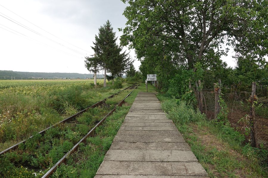
Gura Vițioarei lies in the valley of the Teleajen River, on the boundary between the plain and the hills and forest area. The village is located on the DN1A national road, which connects Ploiești with Vălenii de Munte and Brașov. At the beginning of the 20th century, the area around Gura Vițioarei was crossed by a railway line. For your preparation, the locality can first be understood through these different reference points: landscape, road connection and historic railway line.
Sacred Architecture and Memorial Sites
The parish church of Gura Vițioarei was built at its present location between 1803 and 1829. It replaced an older place of worship that collapsed in the earthquake of 1802. The present parish church has a trefoil-shaped floor plan, a frontally positioned bell tower and an interior gallery with a spiral staircase. Its design recalls the Transylvanian style, particularly that of the area around Brașov.
The ruins of the Church of Saint Nicholas are located in the cemetery of the village of Fundeni. Many building materials from the former church have survived, including the iconostasis. Those who wish to compare sacred architecture and preserved historic building elements can include these two reference points separately in their own day plan.
Hanul Roșu in Făgetu
Another historic reference point is located in Făgetu: Hanul Roșu was built in the 17th century and served as a relay station for stagecoaches crossing the Bratocea Pass. The Hanul Roșu complex includes a ruined enclosing wall. Hanul Roșu in Făgetu is considered a historic monument and is one of the tourist attractions in the municipality of Gura Vițioarei.
The dates and former function offer different perspectives on the history of the locality. For readers who prefer to compare buildings, transport routes and landscapes individually, the choice of thematic focuses remains open.
The historic sites also differ in their spatial and architectural character: the parish church represents a preserved place of worship with clearly described architectural elements, the church in Fundeni represents ruins and preserved building components, while Hanul Roșu is associated with its former function as a station on the Bratocea Pass. These differences allow comparison by building form, state of preservation and historical role, without treating the sites as a single sightseeing destination.
When choosing accommodation in Gura Vițioarei, travel dates, room category and cancellation conditions can provide different points of comparison. These details can be weighted according to your own plans, while the cultural and landscape highlights of the locality can be considered independently of one another.
Movila and Cazacu Forest
The Dacian fortress of Movila near Gura Vițioarei lies southeast of the village and east of the Teleajen River. The Movila archaeological site is located on the upper part of a heavily forested, truncated-cone-shaped hill on the left bank of the Teleajen, at its confluence with the Danciu Valley. Cazacu Forest is designated as a recreational area.
For the general travel overview: Comuna Gura Vitioarei.

