
Anton
Accommodation in Anton
Hiking in the Balkan Mountains, protected areas, and cultural sites help you explore Anton according to your travel interests.
Anton at a glance
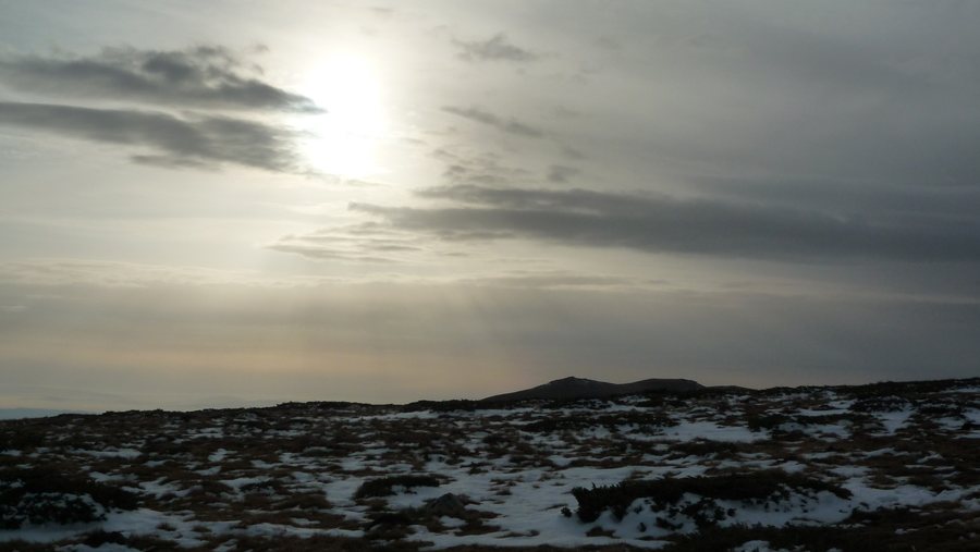
The Vartopa protected area lies entirely within the municipality of Anton; the municipal area also includes part of Central Balkan National Park. The municipality includes the settlement of Anton. For hikers, Anton is a starting point for the Planinski Izvori hut on the Balkan Mountain ridge, in the Gyoldzhuka area. The hike from the municipal center to the hut takes three and a half hours and follows a marked trail.
Which nature and hiking destinations define Anton?
The nature information about Anton concerns different areas: Vartopa lies entirely within the municipality, while only part of Central Balkan National Park is within the municipal area. Nearby, Peperudata Waterfall is located in the national park. It lies between Anton and Klisura on the Podbalkan Road, is just under 20 meters high, and there are parking areas on both sides of the road. This makes the waterfall a distinct natural attraction, separate from the hiking trails that lead to Anton.
In addition to the hike to the Planinski Izvori hut, two routes in Central Balkan National Park are described that reach Anton. A summer route leads from Ribaritsa via Benkovski Hut and Zanogata to Anton. Another route leads from Divchovoto via Elprom, Momina Polyana, and Planinski Izvori huts to Anton. The stated starting points and intermediate stops distinguish the routes; no hiking time is given here for either of these two trails. So if you want to plan your hike around a specific duration, the route from the municipal center to the hut is the one for which a time is provided.
What cultural sights can you discover in Anton?
The Church of Sveti Prorok Iliya is listed as a cultural monument of artistic value. Its iconostasis doors and some of its icons are particularly noteworthy. Above Anton stands the St George Chapel, which was consecrated in 2007 on the site of a small monastery. A local legend links the nearby Jemina Rock to a woman jumping from a high cliff.
Events are also part of Anton’s culture: the feast day of Sveti Iliya is an annual traditional cultural event. A traditional hike along the mountain ridge is also held every year. The Hristo Botev-1925 cultural center runs a library with information and telecommunications technology and internet access. Spring water flows from a source in the central square. At the exit from the village toward Karlovo, beside international road E871, stands a memorial fountain dedicated to Todor Patakov, a deceased Bulgarian border guard from Anton.
How is Anton connected to the region?
The Sofia–Karlovo–Burgas railway line passes through the municipality of Anton. The I-6 main road crosses the northern part of the municipality and connects Sofia with Burgas. These transport links give an idea of Anton’s place in the regional network; the municipality itself is also shaped by its location on the southern foothills of the Balkan Mountains. When choosing accommodation, you can therefore first consider whether your trip will focus mainly on hiking, nature, or cultural sites.
Other destinations in the same selection: Svoge, Bozhurishte, Slivnitza, Kostenets, Zlatitsa, Elin Pelin and Kostinbrod.
FAQ
How long does the hike from Anton to the Planinski Izvori hut take?
The hike from the municipal center of Anton to the hut takes three and a half hours. It follows a marked trail.
Which hiking trails lead to Anton?
A summer route and another route in Central Balkan National Park lead to Anton.
What is noteworthy about the Church of Sveti Prorok Iliya?
It is listed as a cultural monument of artistic value. Its iconostasis doors and some of its icons are particularly notable.
Where is Peperudata Waterfall located?
It is near Anton, between Anton and Klisura on the Podbalkan Road, in Central Balkan National Park. The waterfall is just under 20 meters high; there are parking areas on both sides of the road.
To the main travel overview: Sofia Province / Sofia.

.jpg)