
Municipality of Rakovica
Accommodation in Municipality of Rakovica
Karst landscapes, caves and circular trails characterise the Municipality of Rakovica. Those who want to combine nature with archaeological and cultural insights will find various points of interest here to help plan their trip.
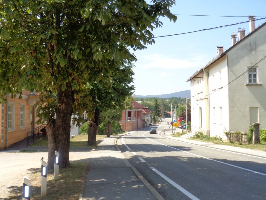
Key facts about the Municipality of Rakovica
- The protected landscape of the Barać Caves covers 5.19 km² within the Municipality of Rakovica.
- Three circular hiking trails start and end at the picnic area by the Barać Caves.
- The Upper Barać Cave can only be visited with a guide.
- Cycling route 34 starts in the centre of Rakovica and heads towards Jelov Klanac.
What makes the landscape around the Barać Caves distinctive?
The protected landscape has distinctive karst geomorphological features, including preserved caves, pits and ponors. These formations make karst the area’s central natural feature; the protected area within the municipality covers 5.19 km².
The trails by the Barać Caves pass through extensive stands of mixed deciduous forest and, in places, dry and semi-dry grasslands. These habitats are home to many rare and endangered plant and animal species. Alongside the geological formations, a variety of natural habitats are therefore also in focus. When choosing an excursion, you can consider whether you are particularly interested in karst, caves or the scenery along the trails.
Three circular hiking trails start and end at the picnic area by the Barać Caves. This gives you a clearly identified starting and ending point for a circular hike. No information on their length or duration is provided here, so the three trails cannot be compared on those criteria.
What can you discover at the caves and in Speleon?
The Upper Barać Cave can only be visited with a guide. This is an important condition when planning a cave visit: visiting without a guide is not possible. The Barać Caves area is also under preventive protection as an archaeological zone.
Animal remains from the Pleistocene have been found in the Upper Barać Cave. The cave is considered a particularly important palaeontological site. At Speleon, fossils discovered there are presented alongside hyper-realistic animal replicas. Those interested in the finds can thus combine a cave visit with a depiction of Ice Age wildlife.
The Ice Age Trail is planned to include ten interpretation points. These are intended to feature interactive puzzles, structures with animal tracks, screens with sound effects and information boards about Ice Age animals. The planned features are designed to present this topic; they therefore differ from the actual fossil finds in the cave and their presentation at Speleon.
Which cultural and historical themes shape the municipality?
The KUD Izvor cultural and folklore ensemble was founded in 1978. Its aim is to preserve traditional songs and dances from Rakovica and the wider area, and to safeguard the region’s folkloric heritage. The ensemble performs regularly and also gives performances for tourists. It thus brings a living folklore tradition into focus alongside the natural and cave-related attractions.
The old town of Drežnik also offers a historical highlight. Owing to its rich history and preserved architectural features, it is considered the most important archaeological and architectural site in the Municipality of Rakovica. The clearing by the old town forms part of numerous cycling, hiking and horse-riding trails and offers panoramic views of the Korana River and the surrounding landscape.
Which places are part of the Municipality of Rakovica?
To orient yourself within the municipality, you can also take its individual settlements into account: Selište Drežničko, Grabovac, Korita, Broćanac, Korana, Čatrnja, Drežnik Grad, Rakovica, Irinovac, Drage and Oštarski Stanovi.
How do you get to the Barać Caves, and what routes are available?
If you are coming from the direction of Zagreb, turn off in the centre of Rakovica and follow the signs to the Barać Caves via Grabovac. After approximately 7 kilometres, you will reach the Barać Caves car park. The distance given refers to this section, up to the car park.
For cyclists, cycling route 34 starts in the centre of Rakovica and heads towards Jelov Klanac. If you prefer horse riding, you can contact the Rakovica equestrian club: after registering by telephone a few days in advance, the club can organise leisure or sport riding tours according to guests’ wishes. The different options let you tailor your trip to your interests, without treating the cave visit, cycling route and riding tour as one combined offer.
Rakovica is in the immediate vicinity of Plitvice Lakes National Park. Together with the caves, karst landscape and cultural attractions, this offers a choice of different highlights for your trip.
FAQ
Can you visit the Upper Barać Cave without a guide?
No. Visitors can only visit the Upper Barać Cave with a guide.
How do you get to the Barać Caves car park from the direction of Zagreb?
Turn off in the centre of Rakovica and follow the signs via Grabovac. After approximately 7 kilometres, you will reach the car park.
Where does cycling route 34 start?
Cycling route 34 starts in the centre of Rakovica and heads towards Jelov Klanac.
For the overview of the wider travel region: Karlovac County.

