
Tomice: Hotels and Accommodation
Accommodation in Tomice
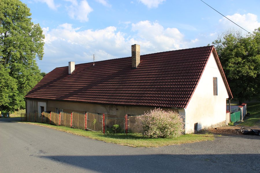
Tomice is located on the Tomický stream, which flows into the Želivka River and, respectively, the Švihov Reservoir. Křenová hora is a natural landmark in the vicinity of Tomice; its summit is 528 metres above sea level.
History
Tomice was established as part of Svatavina Újezd, which was colonized by the Vyšehrad Chapter. The first mention of Tomice dates from a confirmation charter with which Charles IV confirmed the ownership of the Vyšehrad Chapter in 1352. Tomice was a prebend of canons.
Location
Tomice is located 3 kilometres east of Exit 66 of the D1 motorway. New Dolní Kralovice lies 2 kilometres west of Tomice.
In the vicinity of Tomice, the original Dolní Kralovice was flooded by the Želivka–Švihov Reservoir; the new settlement was rebuilt in the 1970s.
Cycling
On 7 June 2025, the 18th edition of the amateur cycling race Tomická Padesátka took place in Tomicích near Dolní Kralovice. The route of the 2025 Tomická Padesátka consisted of two laps of 25 kilometres each. The 2025 Tomická Padesátka featured categories for men, women and children up to and including 13 years of age.
Orientation
No marked tourist trail passes through Tomice.
Other local pages: Vsetice, Chrást Nad Sázavou, Netvorice, Heřmaničky, Chářovice, Louňovice Pod Blaníkem, Řimovice, Ctiboř.
To the higher-level travel overview: Benešov District.

